|
 Bay Shore Bay Shore |
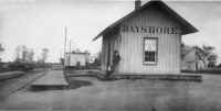
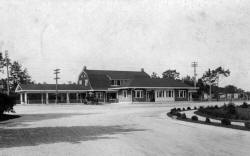
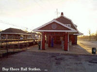
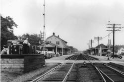
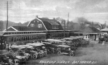
Bay Shore Station 9/1879 view E
Photo: George Brainard
Archive: Brooklyn Public Library |
 |
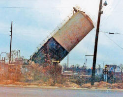
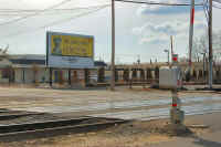
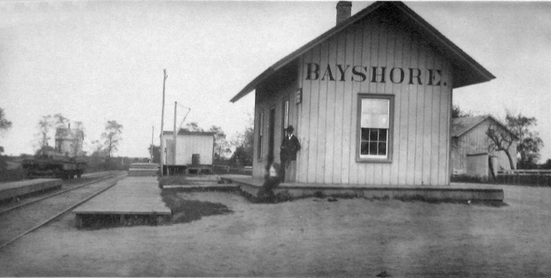
Bayshore: South Side Rail
Road (S.S.R.R.) Depot opened: 5/20/1868 as "PENATAQUIT."
Changed to BAY
SHORE: 7/1868. Replaced: 1882. (Razed, burned or rebuilt into
1882 building?)
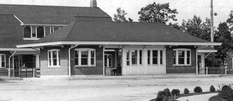
2nd Depot built: 1882, Razed: 1912
3rd Depot opened: 7/17/1912 Agency closed: ?
Research: Dave Keller |
|

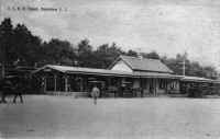
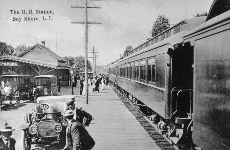
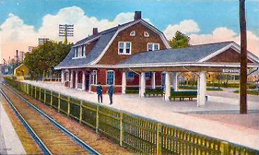
Bay Shore Station - c.1900 |
Bay Shore Station view NE c.1910 Archive:
Dave Keller
|
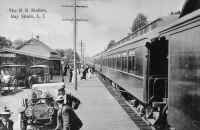
Bay Shore Station c.1911
Archive: Dave Keller |

Bay Shore 3rd Station
view NE c.1918
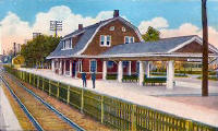
Bay Shore colorized
post card c.1918
|
Bay Shore 3rd Station
View N 1912 Archive: Dave Morrison

Bay Shore 3rd Station - south side zoom
view N 1912 Archive: Dave Morrison
|
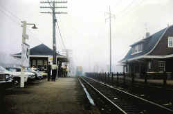
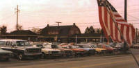
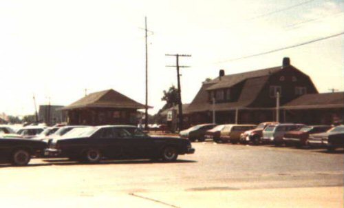
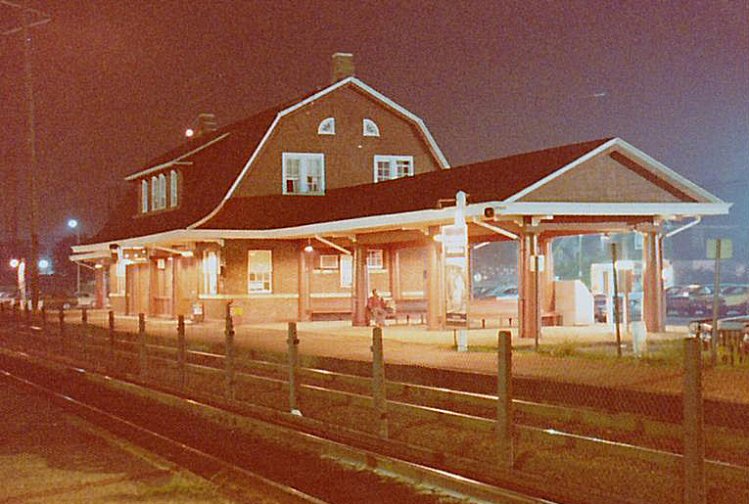
Bay Shore Station - View W c.1972
(Sturm-Fehn)
From Fourth Ave view NW c. 1985
Photo/Archive: Steven Lynch |
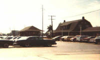
Bay Shore 8/1975
Photo/Archive: Jim Gillin |
North side station view W
Photo/Archive: Steven Lynch |
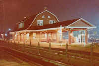
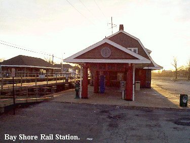
LIRR Bay Shore Station c. 1985
Photo/Archive: Steven Lynch |
|
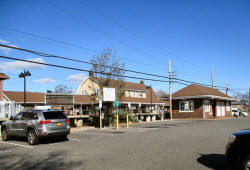
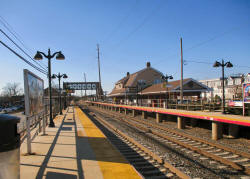
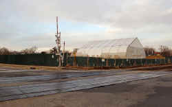
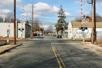
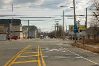
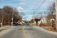
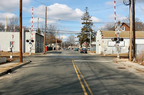
Bay Shore Stations - View NE 11/16/2020
Photo/Archive: Dave Morrison |
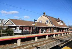
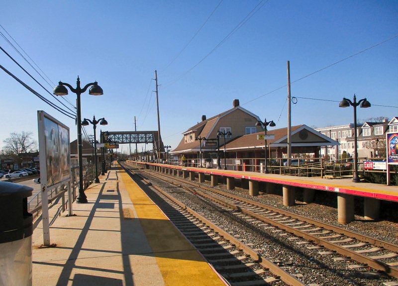
Bay Shore Station north side platform - View NE 11/16/2020 Photo/Archive:
Dave Morrison |

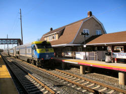
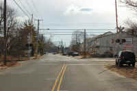
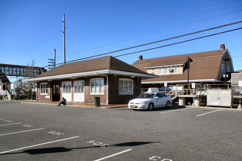
Bay Shore Station - View NW 11/16/2020
Photo/Archive: Dave Morrison |
Bay Shore Station - View W 11/16/2020
Photo/Archive: Dave Morrison |
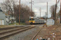
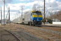
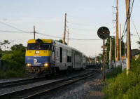
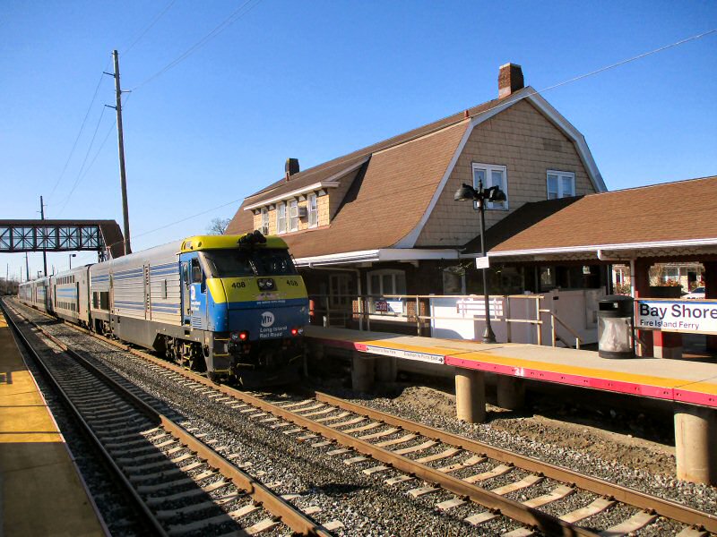
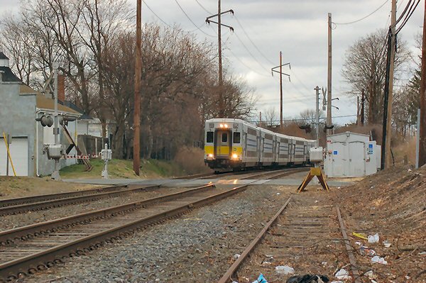
Bay Shore LIRR #408 eastbound 11/16/2020
Photo/Archive: Dave Morrison |
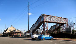
Bay Shore Station - View SE pedestrian overpass 11/16/2020 Photo/Archive:
Dave Morrison |
Bay Shore Station sealed underpass 11/16/2020
Photo/Archive: Dave Morrison |
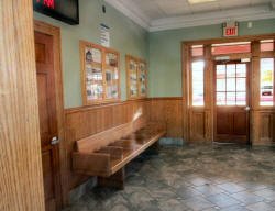
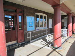
Bay Shore Station waiting room 11/16/2020
Photo/Archive: Dave Morrison |

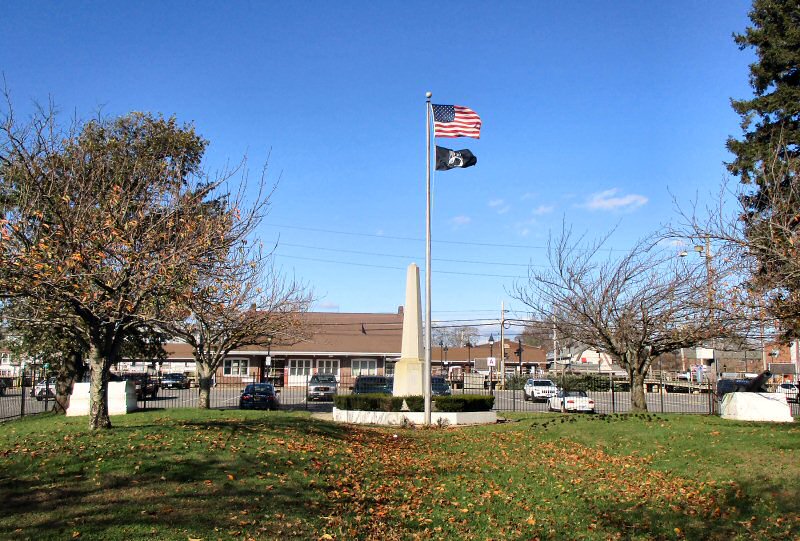
Bay Shore Memorial Park south of the station view N 11/16/2020Photo/Archive:
Dave Morrison |
|
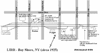
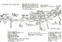
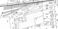
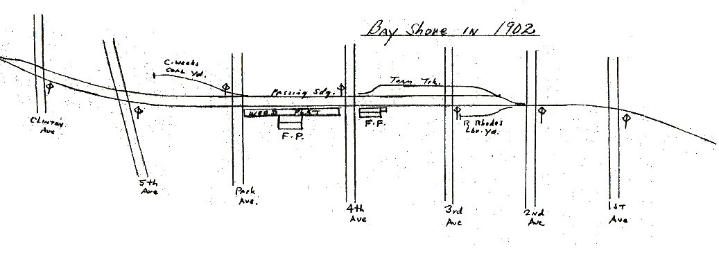
Emery
1902 Bay Shore map Sketch
SUNY-Stony Brook final Emery
1902 version |

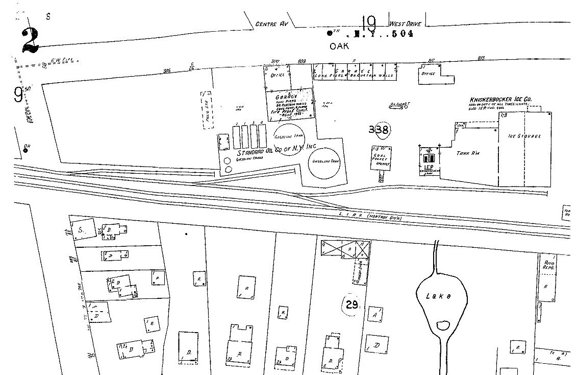
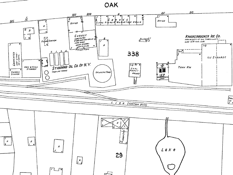
Sanborn map - Bay Shore 2/1925 Standard Oil
at Fifth Ave and Oak Street. |
Bay Shore map c.1925 composite
Sanborn maps
|
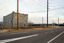
LILCO gas tanks razed - Bay-Shore 5th Ave view W |

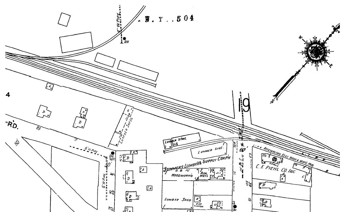
Sanborn map - Bay Shore 2/1925 - Summers Lumber
at
Clinton Ave |
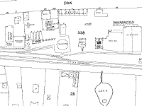
Sanborn map-Standard Oil Co. - Knickerbocker
Ice Co. east of 5th Ave. 2/1925 |
|
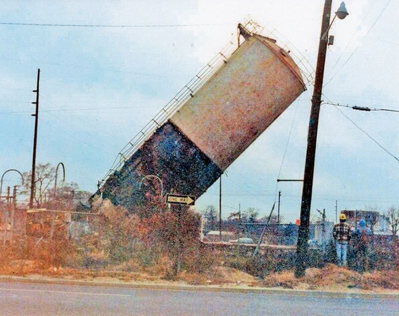
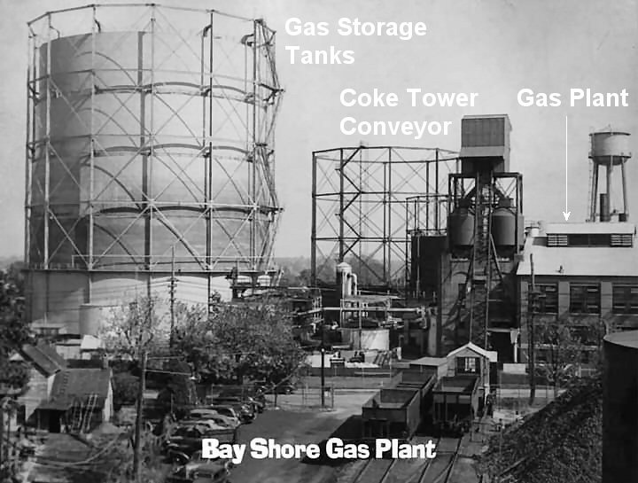
Previous Suffolk Gas &
Electric tanks 1913 served by the LIRR. Later became South Shore Gas Co.
prior to LILCO Gas Generating Plant deactivated in 1955.
On the NW corner of
5th Ave and the LIRR tracks. The view is west as 5th Ave is northbound at
this location as the one way sign indicates. Info: Steven Lynch |
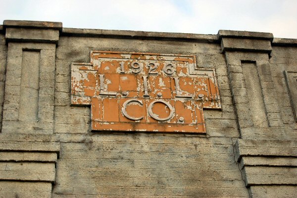
1926 LILCO close-up, Clinton Ave.
1/27/2008
Photo: Mike McDermet
1926 LILCO substation, Clinton Ave.
1/27/2008
Photo: Mike McDermet
|
View of substation bldg, looking SE to former site
of gas tanks/transformers 1/27/2008
Photo: Mike McDermet
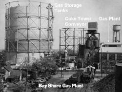
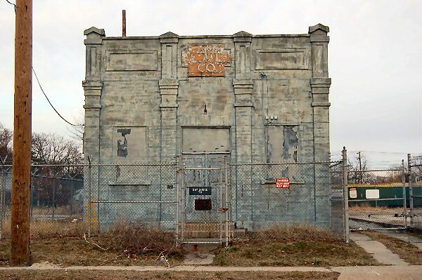
Bay Shore LILCO Gas Plant Clinton Ave
View E c.1948 Archive: Brian Cholerton |
View NE from Clinton Ave crossing. Tanks/transformers used to be
here
1/27/2008
Photo: Mike McDermet
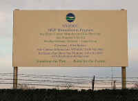
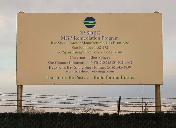
NYSDEC sign on the site 1/27/2008
Photo: Mike McDermet |
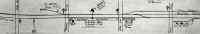
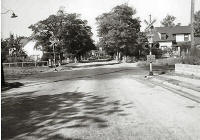
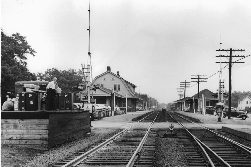
Bay Shore Station view E from Park Ave 6/23/1944
Photo: Fred Weber Archive: Mike Boland |
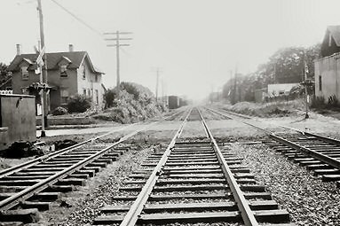
7/1944 at grade crossing east of the station
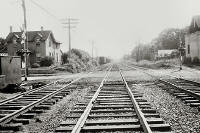
7/1944 view west toward First Ave |
7/1944 at grade crossing east of the station |
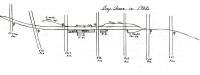
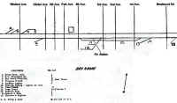
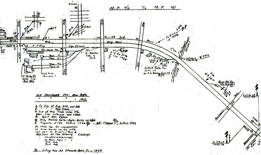
MP 39-40 Emery map 1958 |
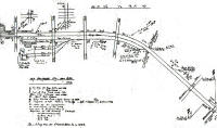
MP 40-41 Emery map 1958 |
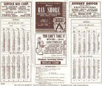
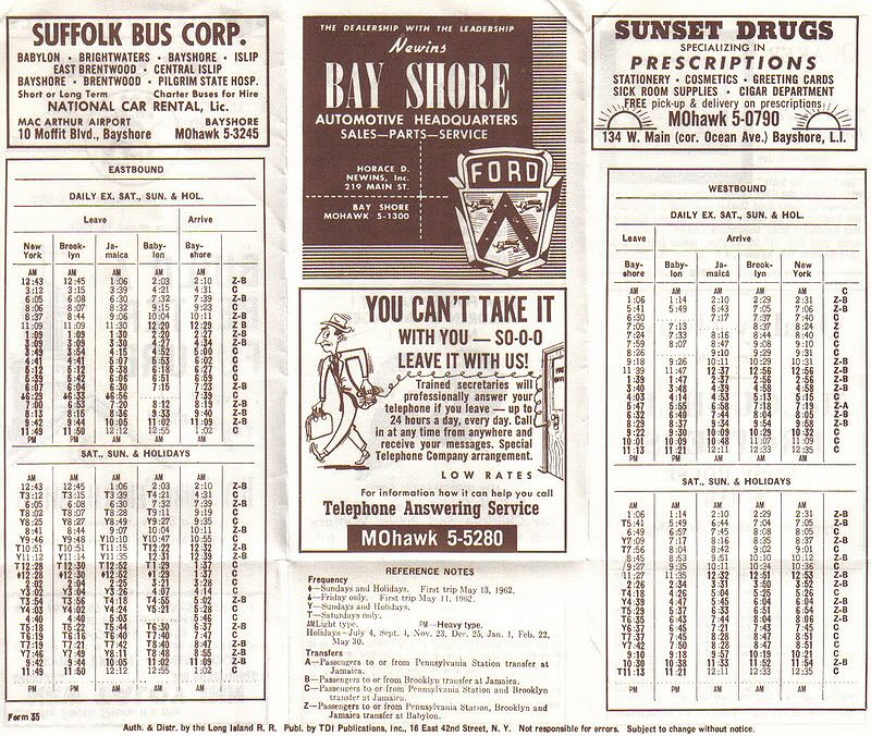
Bay Shore Timetable 1962 |
Block Signal #398 view E of Bay Shore station 1/06/2021 Photo/Archive: Jeff
Erlitz |
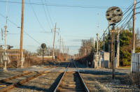
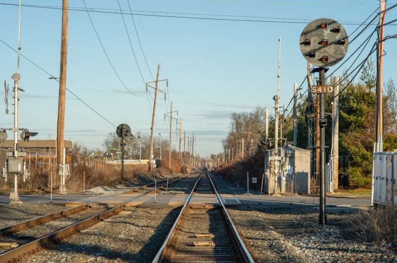
Block Signal #410 west of Bay Shore station 1/06/2021 Photo/Archive: Jeff
Erlitz |
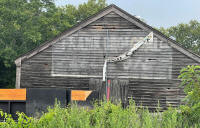
Frank Bros Coal 8/10/2021
Photo/Archive: Joe Vila |
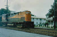
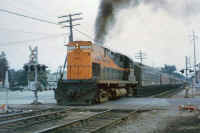
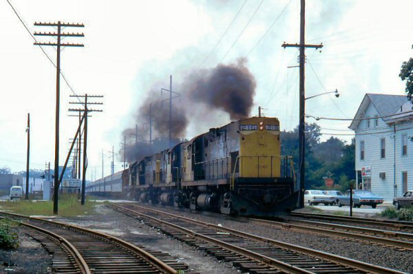
C420 #208 and ex-KCS #258 Bay Shore 1969
Photo: J. P. Krzenski
Collection: Dave Keller |
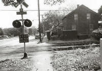
1944 Second Ave view north at grade
crossing east of the
station |
2008 Second Ave view north
1/27/2008
Photo: Mike McDermet |
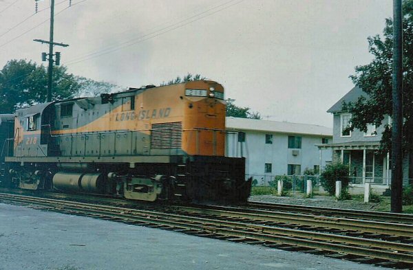
LIRR C420 #218
c. 1960's
Photo: Steve Hoskins
|
2008 First view west
4/15/2008
Photo: Mike McDermet |
2008 Second Ave view east
4/15/2008
Photo: Mike McDermet |
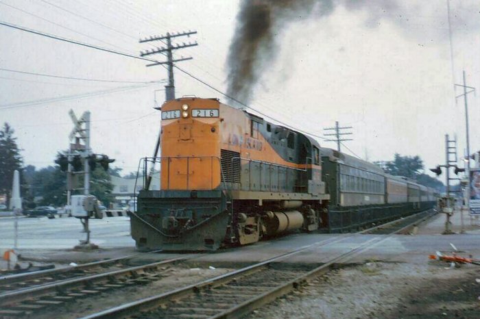
LIRR C420 #216
c. 1960's
Photo: Steve Hoskins |
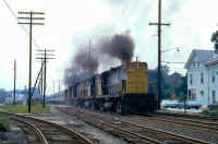
LIRR C420 #216 passing Bay Shore Lumber
crossing 3rd Ave eastbound 8/24/1973 Archive: Mike Woodruff |
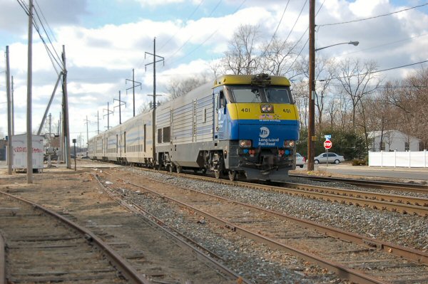
LIRR #401 passing crossing 3rd Ave eastbound
1/27/1908
Photo: Mike McDermet |

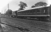
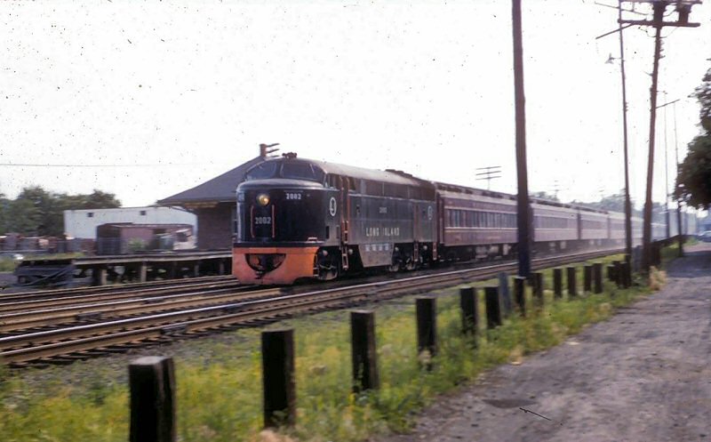
LIRR #2002 eastbound at Bay
Shore Freight House
View SW 1958 Photo/Archive: Art Huneke
Note: H. Verby Co. building material warehouse, new in 1956 left background
|
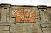
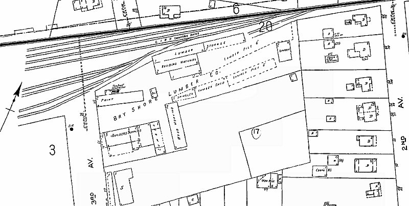
Bay Shore Lumber - East of 3rd Ave.
Sanborn map zoom 1949
|

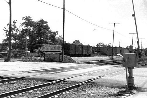
Bay Shore Lumber the last days c.1990's at 3rd Ave.
View SW
Photo: Steve Lynch |
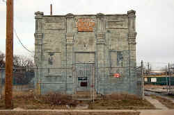
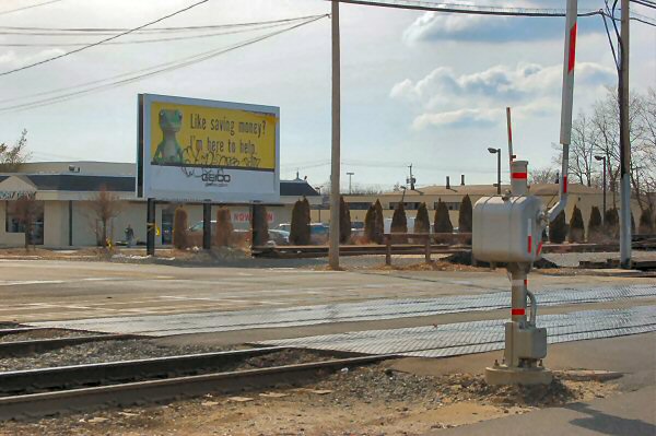
ex-
Bay Shore Lumber site at 3rd Ave.
View SW 2/23/2008
Photo: Mike McDermet |
Third Ave, looking south. Old yard site on right. 1/27/2008
Photo: Mike McDermet
|
Current Sign ex-Bay Shore Lumber site 1/27/2008
Photo: Mike McDermet Modified: Steve Lynch
|
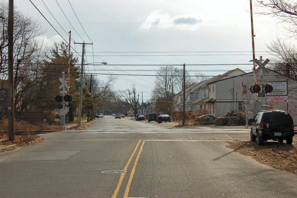
3rd Ave south 1/30/2008
Photo: Mike McDermet
|
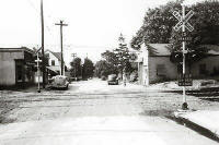
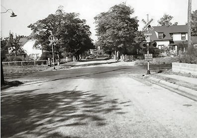
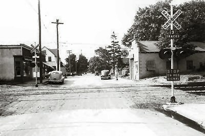
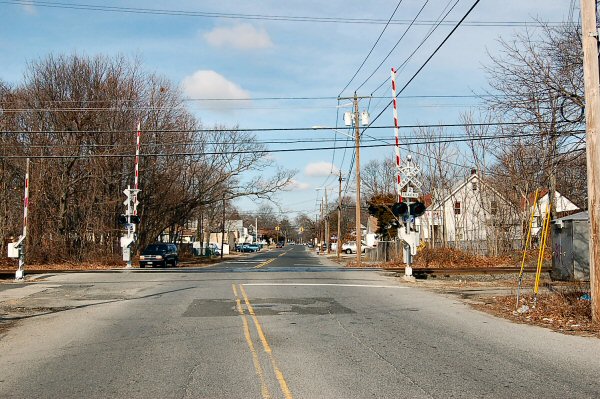
Penataquit Ave. grade crossing,
view N
1/27/2008 Photo: Mike McDermet
Penataquit Ave. grade crossing,
view S
1/27/2008 Photo: Mike McDermet
|
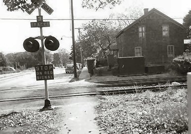
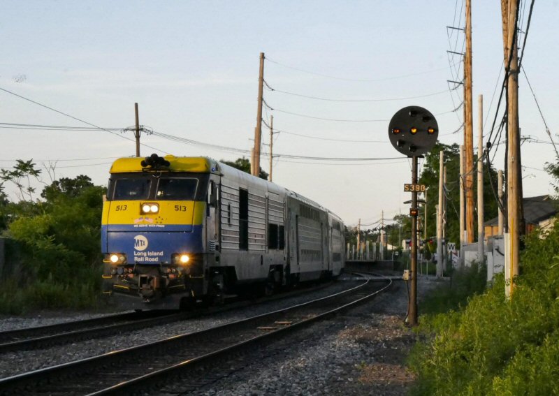
Bay Shore, Clinton Rd. Signal S398 - View NE
Photo/Archive: Benjamin Lederer
|
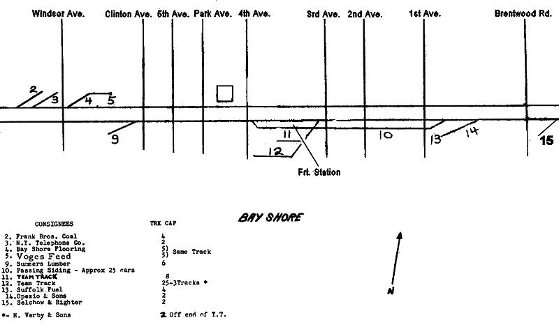
LIRR 1966 Track Map Bay Shore
|
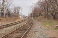
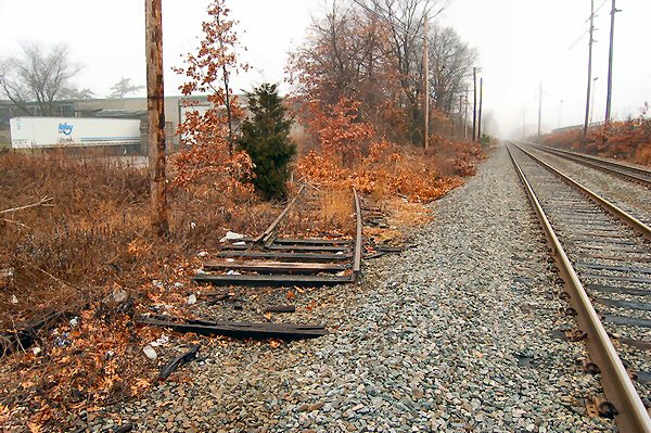
Selchow & Righter siding 2/18/2002
Photo: Mike McDermet
|
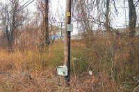
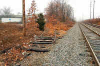
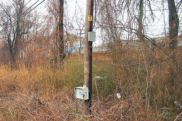
Talker box or a Line Phone, west
of Saxon Ave 2/18/2008 Photo: Mike McDermet
|
|
That's a "Talker" box, or a Line-Phone, when radios fail, or for any other time where the tower or dispatcher governing that part of the line needs to be reached without a radio, the Conductor uses those phones to
receive an order, call in a problem, etc. I don't know how often they are used nowadays, perhaps some of our guys with experience can fill us in *Nudge Nudge*
In the days before Radios, those phones were crews only "verbal" link up to the Operators, Towers and Dispatchers along the line, when an order needed to be
received or relayed from an outlying terminal or a block limit they didn't have authorization to pass on the initial order, the line-phone was used to
receive further clearance.
Ah yes, the old "T-box" hand cranked magneto phones. The phone would be located in the box with the blue letter "T" on it.
You had to open the door, usually secured with a rusty old switch lock that you had to fight to open. Once you opened the door, you needed to chase out anything living inside the box before attempting to use the thing.
Inside the box, there is a three position toggle switch marked (usually with a magic marker or crayon) "C", off, "B". C was for the operator, "B" was for the nearest block station, and off is what it says it is. You put the toggle switch in the position for the person you wanted to call.
You picked up the receiver, checked it carefully for any six or eight legged creatures inhabiting the handset, and gave it a good smack to knock them free of their new found home.
You then cranked the magneto handle furiously either to the east or west direction (ringing the phone in the block phone in the tower) depending again on who you were trying to contact. Ringing east would call the block station east of you, west the one west of you if in the "B" position. In some of the more congested locations, you had to ring twice for one tower, three times for another. This information was usually located on a faded weather beaten piece of paper taped to the inside of the box. Calling the operator didn't matter which way you cranked the handle. If you were lucky, someone picked up the other end and you could hear them and/or they could hear you.
Some of the "better" phones had a small drop down "plate" you could use to write train orders, clearance cards or what ever (providing someone didn't break the thing
off) you had to copy onto paper (that you supplied). The most fun of all was trying to do this in a driving rainstorm with the wind blowing. Nearly impossible to accomplish while trying to stay dry and keep the paper work dry also (every try to write on wet paper....don't work well). Funny thing is it was accomplished without much complaint for years and years.
The really "high-tech" once had an actual key pad to dial the extension you needed (normally these were found in terminals).
Once you were done, you hung up the receiver, placed the toggle switch into the off position, and closed and locked the door (again fighting with that rusty old lock).
With the advent of better radios and the cell phone (I know your not supposed to use them), the T-boxes have become somewhat of a "dinosaur" on the property. They are still located all over the place, and I bet most of them still work if needed.
Info: Bob Andersen
|


