Rahway Valley Railroad - Kenilworth, NJ
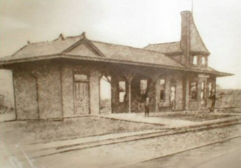
RVRR Kenilworth, NJ Station 1898
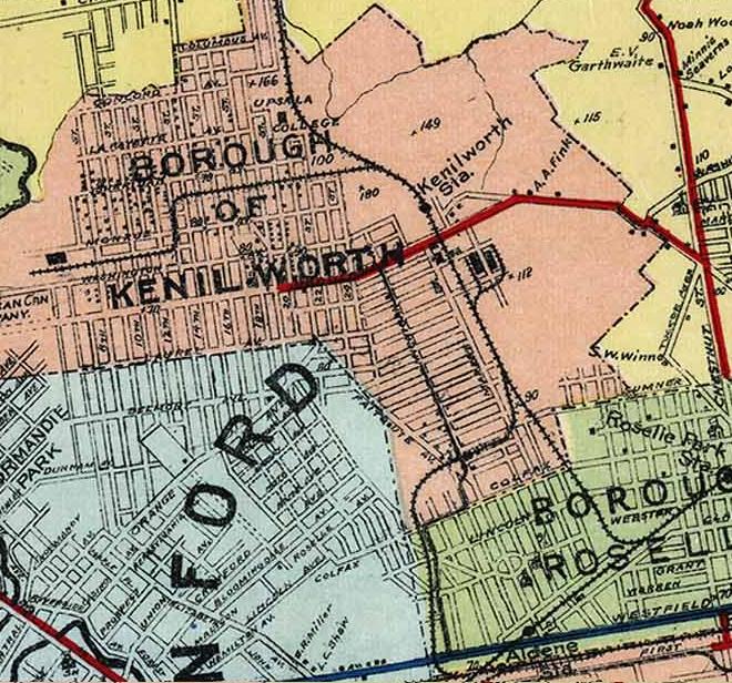
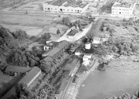
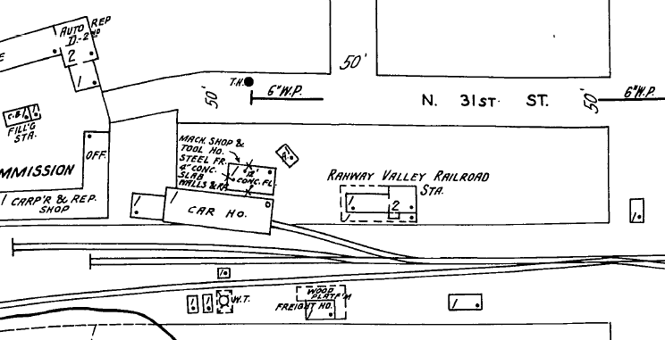
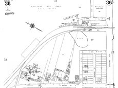
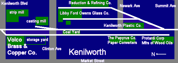
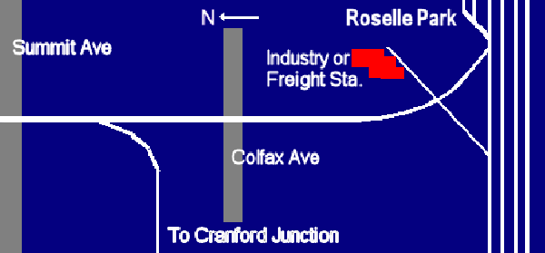
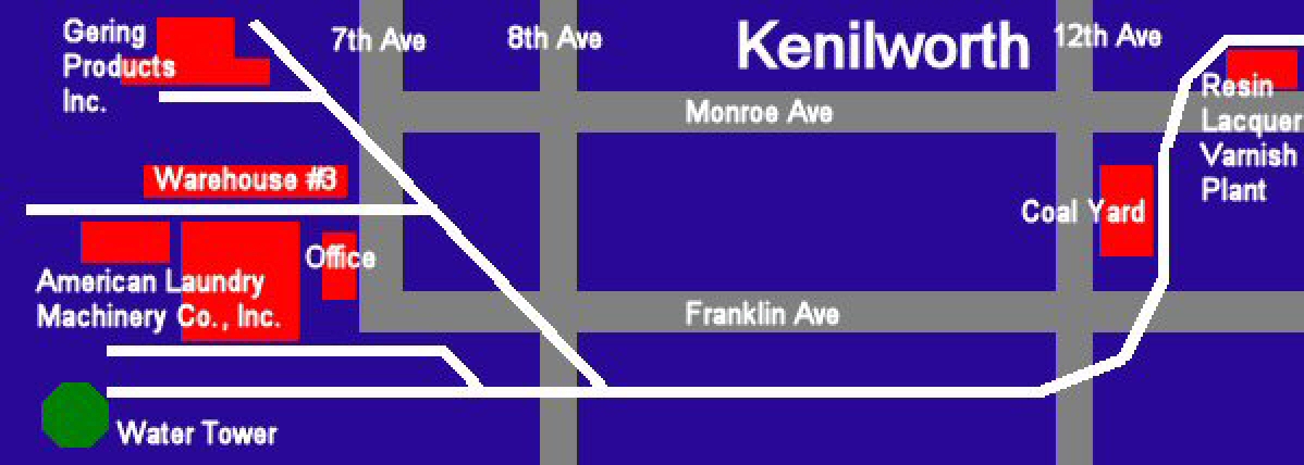
Rahway Valley RR Kenilworth Roselle Park Map 1923
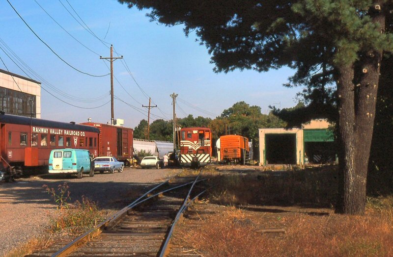
Kenilworth office/engine house - 1982
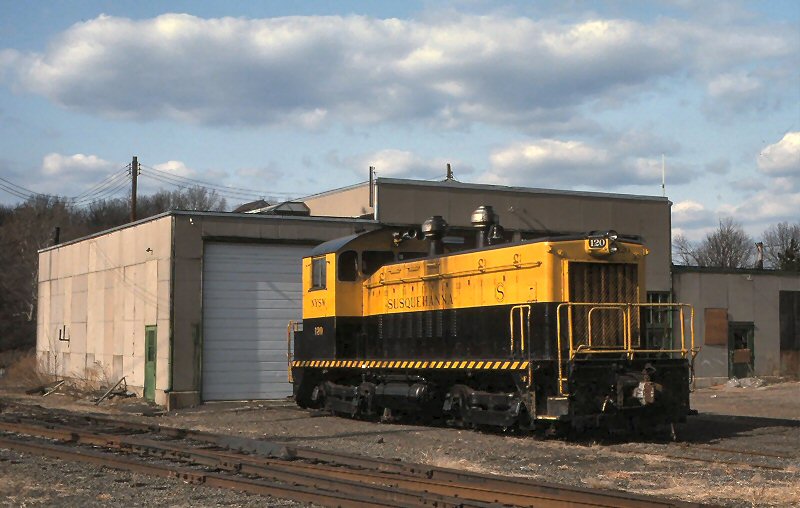
NYSW Susquehanna #120 at the engine house
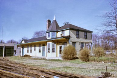
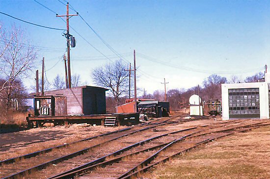
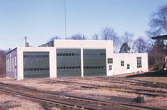
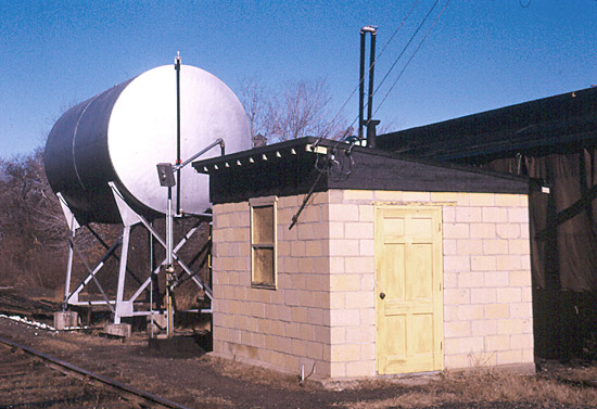
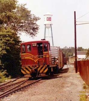
Kenilworth 4/1992
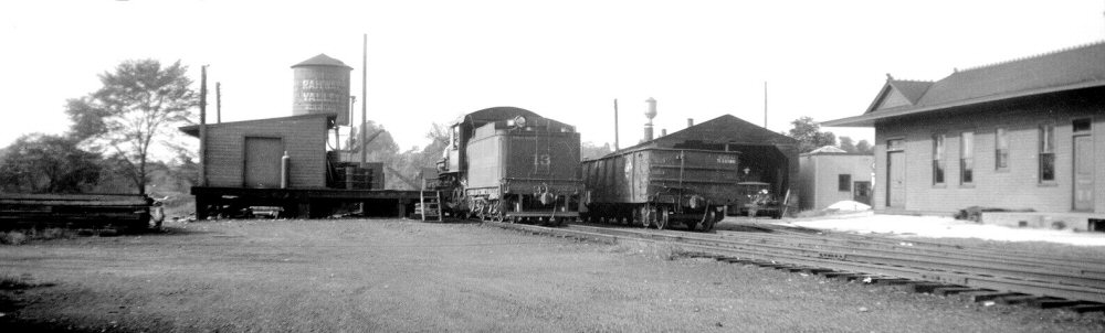
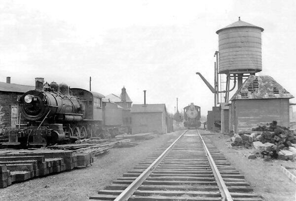
Rahway Valley Railroad Kenilworth Yard c.1940 - Freight house,
water tank beyond, 2-8-0 #13 at the high platform, gondola,
two-stall
engine house with track inspection car just visible in the bay and partial
view of the depot.
Photo: William S. Young - Archive: Dave Keller

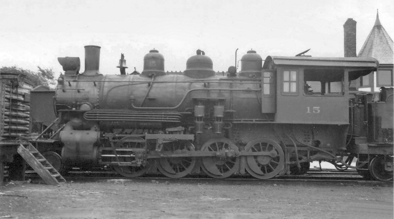
RVRR #15
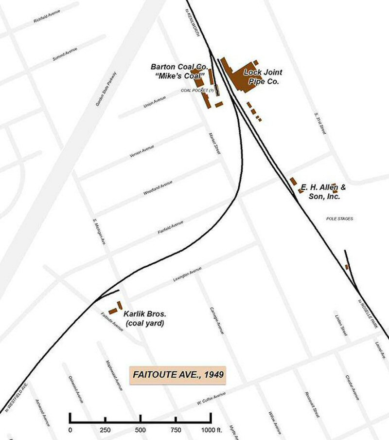
by in 1949 Archive: Dr. Walter Boright
10/1971
12/22/1971
12/22/1971
1973
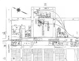
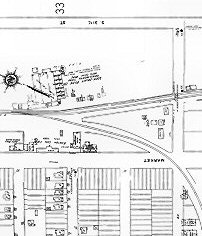
Sanborn Fire Map c.1929
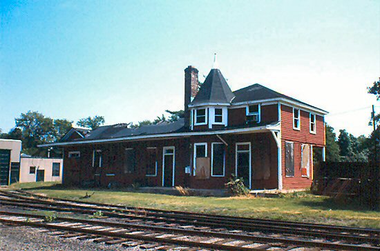
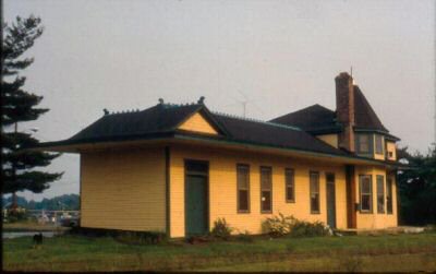
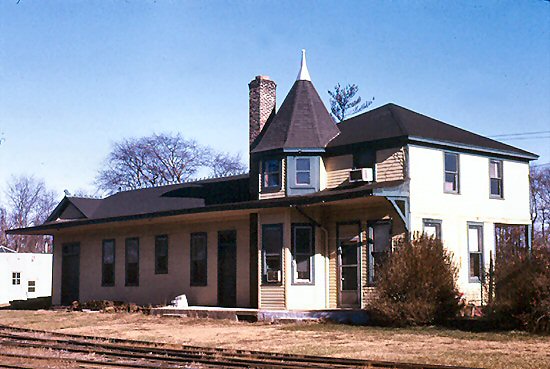
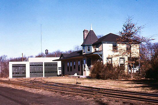
RVRR Headquarters Kenilworth Station 8/1978

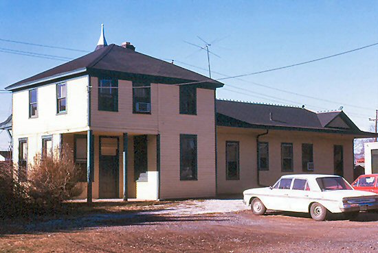
Kenilworth Station View West from 31st Street 8/1978

Caboose 102, RVRR #12 7/04/1939
Photo: George E. Votava
Archive: Dave Keller
View S 8/19/1937
Photo: C.A. Schrade
#12 was the only engine that was on the roster in 1939,
that was also in retirement, which would explain why it was stored so
far back on the siding. Also the size of the large cab is also a clue
pointing towards #12.
Info: Rich King
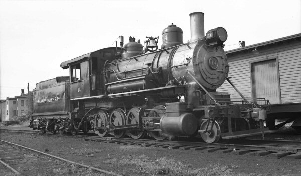
RVRR #14 07/04/1939
Photo: George E. Votava
Archive: Dave Keller
c.1945 Hal Carstens(?)

RVRR Consolidation #15 with caboose 102 in tow, c.1950

View N 1947
Photo: Bill Burke

Photo: Burke?, c.1947
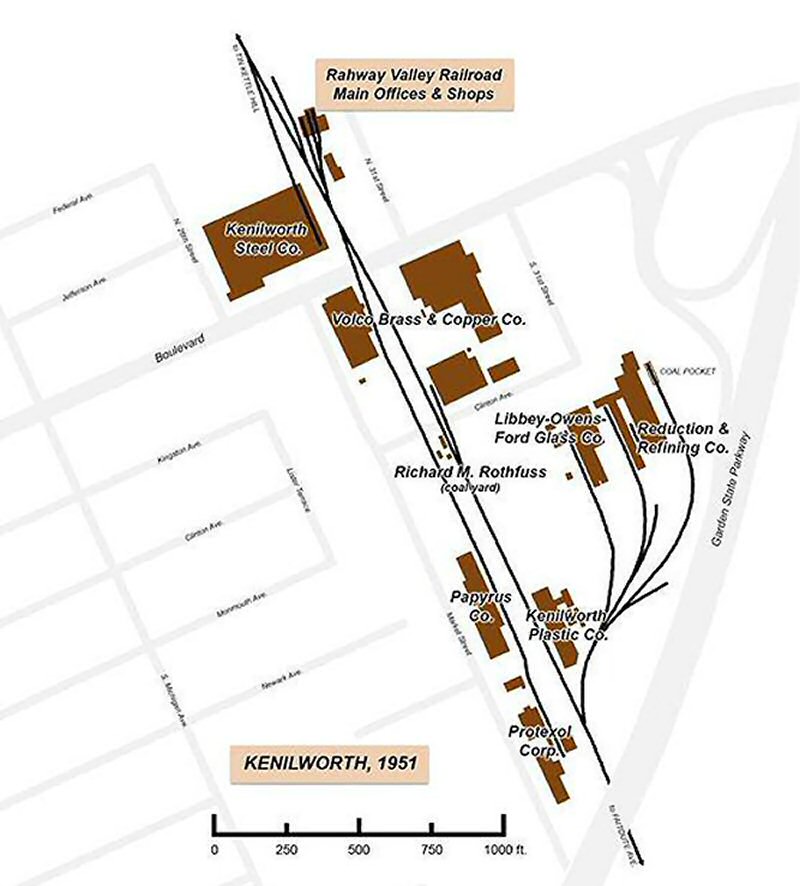
Volco Co. far left 1955
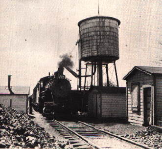
Fill 'er up 1949
Photo: H. Carstens
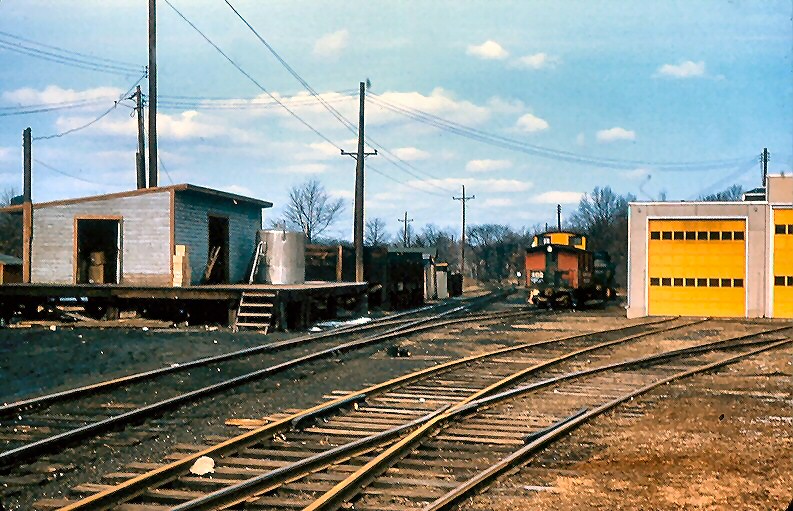
Kenilworth c.1971
Photo: Tom Piccirillo
Engine house replaced the two track earlier wood version
12/22/1971 -
Photo: Tom Piccirillo
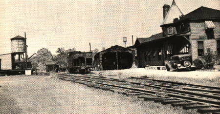
Kenilworth - view NW 1957
12/22/1971
Photo: Tom Piccirillo
12/22/1971
Photo: Tom Piccirillo
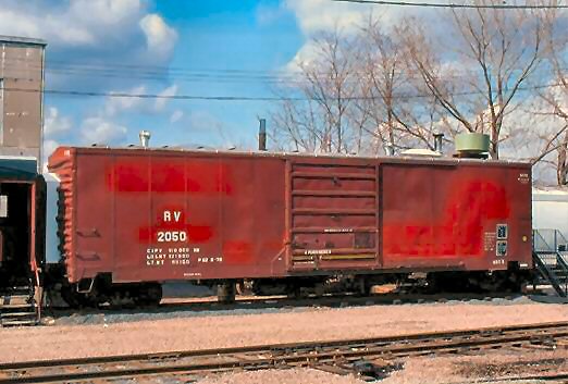
RV #2050 view E 1981
Cahill Office at Cooperstown, NY
4/04/2009 -
Photo: Paul Koprowski
Box car #2050 was behind the passenger coach that the RVRR used as its offices in the Cahill years (1975-1986). I read somewhere that this box car had come from the Raritan River Railroad in South Amboy, NJ, which was taken over by Conrail in 1980 which may explain the Conrail logo spray painted over in the below photo. I believe that the Rahway Valley Railroad used this boxcar for filing space to keep all of their records, bill, receipts, etc. Info: Rich King

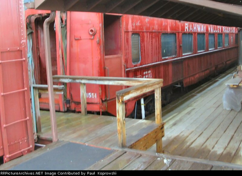
RVRR #1551 Freight Office, -Kenilworth - 9/07/1978
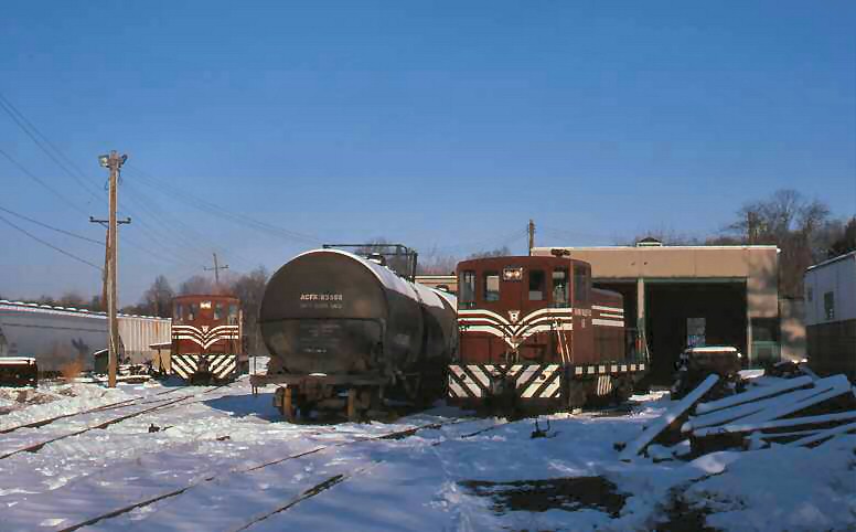
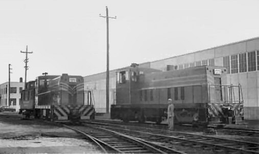
RVRR #16 and #17 in the yard

RVRR #16 hauling #2047 8/1982 Photo: unknown
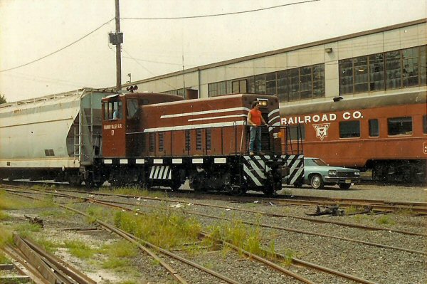
RVRR #17 8/03/1984
Photo: John Humes
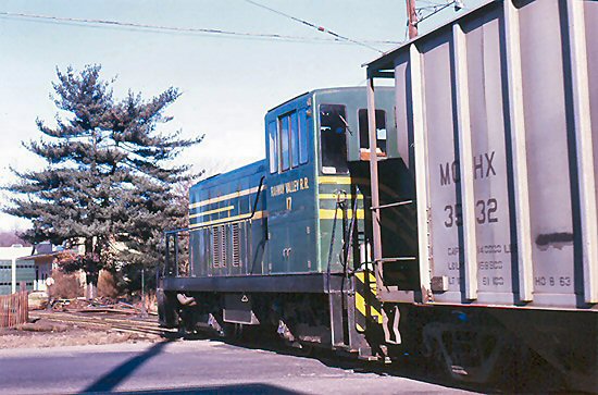
#17 ready to cross Kenilworth Blvd, Flagman at left
Photo: Tom Piccirillo
#17 working back north into the station area
Photo: Tom Piccirillo
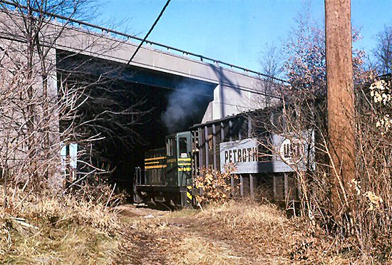
#17 under the Garden State Pkwy overpass view north
(south of Kenilworth Station)
Photo: Tom Piccirillo

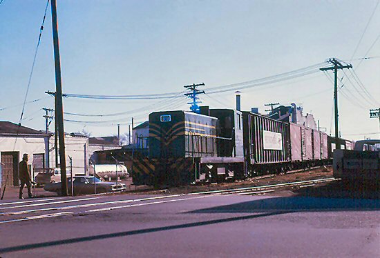
Another load of Petrothene®
Polypropylene for
injection molding being switched
Photo: Tom Piccirillo
View N 5/27/1990
Photo: Unknown
View S 8/27/1990
Photo: Unknown

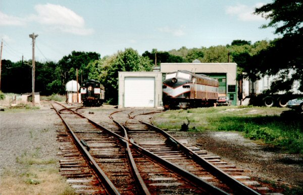
View N 4/1992
Photo: Unknown
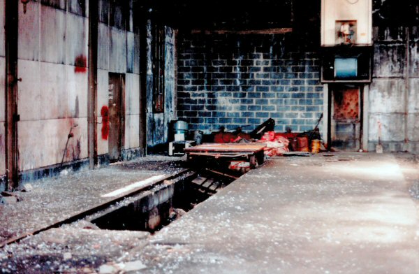
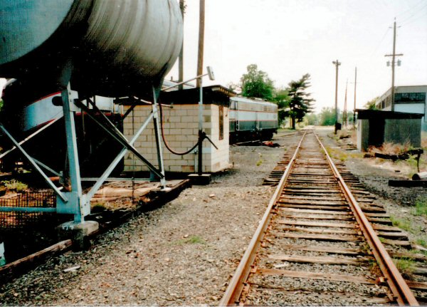
Engine shed 4/1992
Photo: Unknown

 RVRR #16 at Monsanto 1972 view west
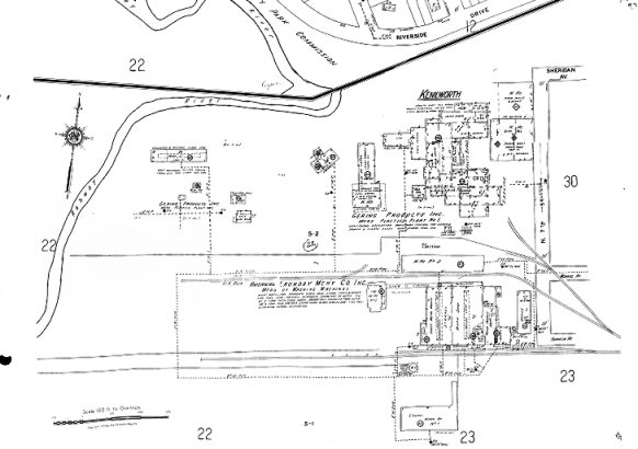