|
SAYVILLE |
|
||||||
|
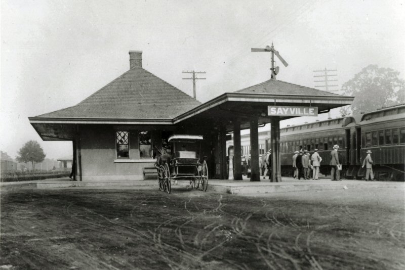
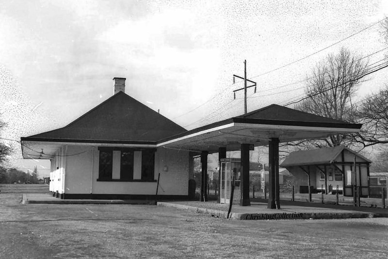
SOUTH SIDE RAIL ROAD DEPOT BUILT: 1868.
TERMINUS UNTIL 4/1869 WHEN
LINE EXTENDED TO PATCHOGUE.
RAZED: 1906 |
||||||||
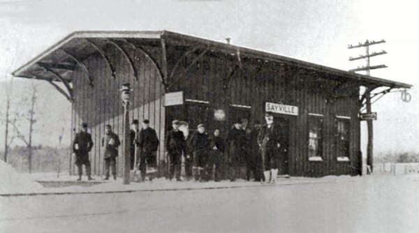 South Side Rail Road c. 1868 Note the old train order signal extending from the roof at far right. Photos/postcards Archive: Dave Morrison unless as noted |
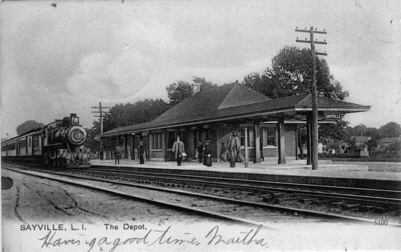
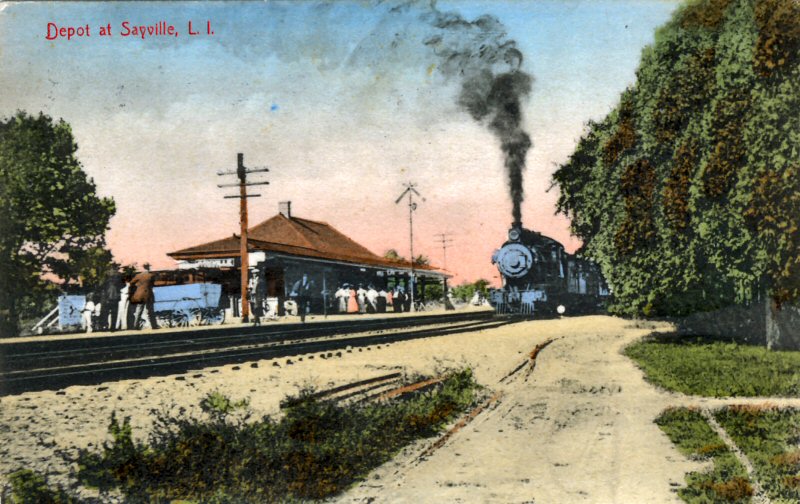
 Sayville Station colorized post card c.1910 |
|||||||
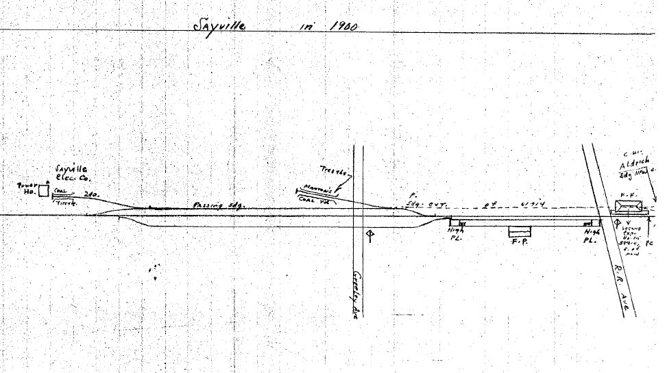 Sayville Map 1900 Archive: Dave Keller |
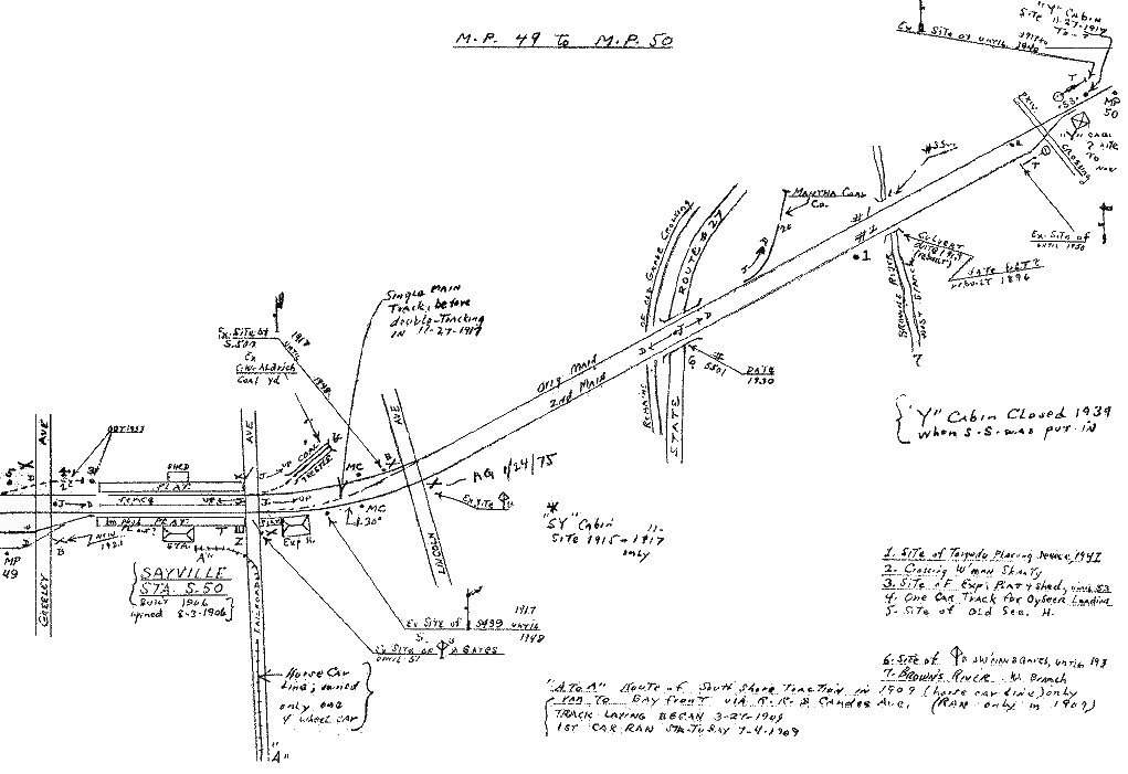 Sayville Emery Map MP49-50 Archive: Dave Keller |
 West Sayville Emery Map 5/1958 MP47-48 Archive: Dave Keller |
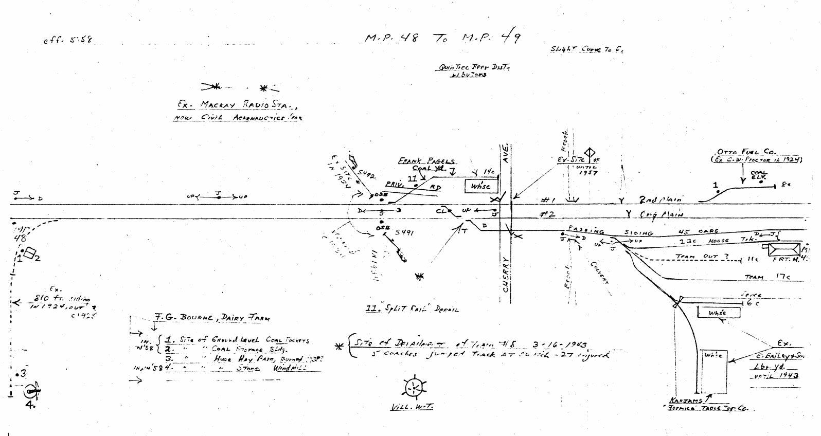 Sayville Emery Map 5/1958 MP48-49 Archive: Dave Keller |
|||||
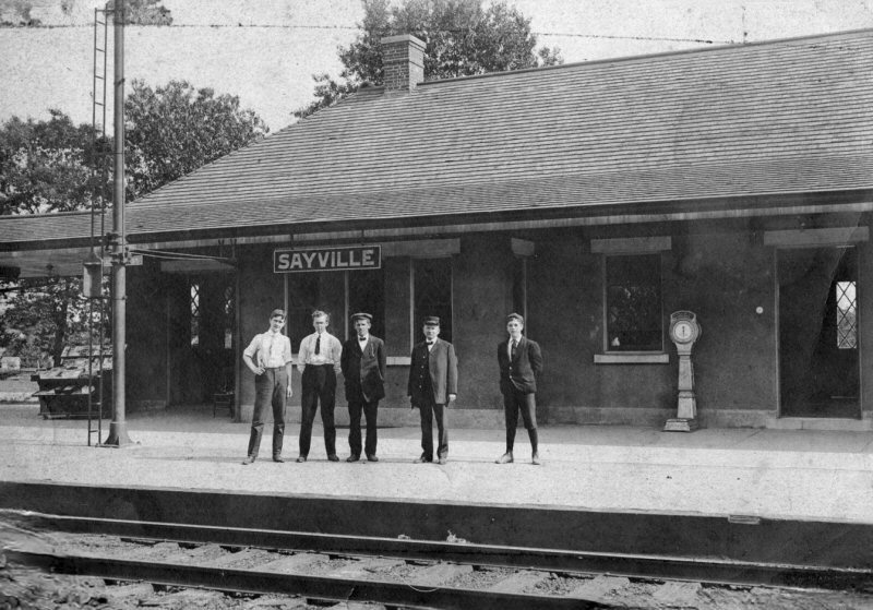
 Sayville station view W 1907 |
 Sayville station postcard view E c.1907 |
 Sayville colorized postcard view W c.1910 |
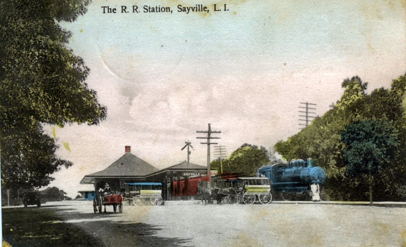
 Sayville postcard view SW c.1910 |
|||||
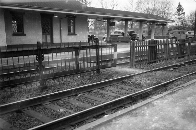
 Sayville Station - View SE c.1914 Archive: Thomas McMahon |
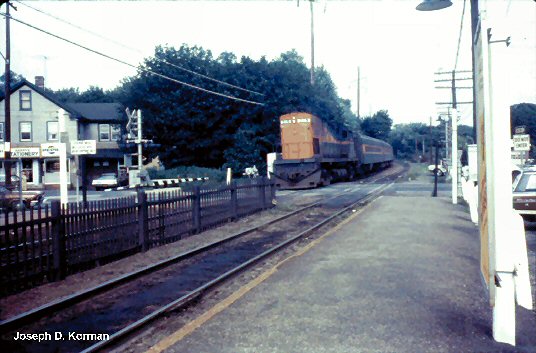
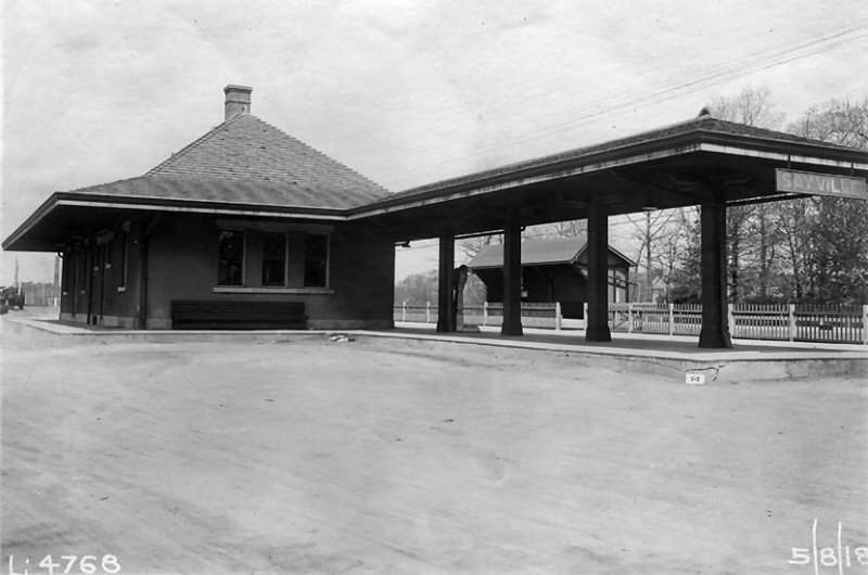 Sayville valuation photo 5/08/1918 View W - eBay |
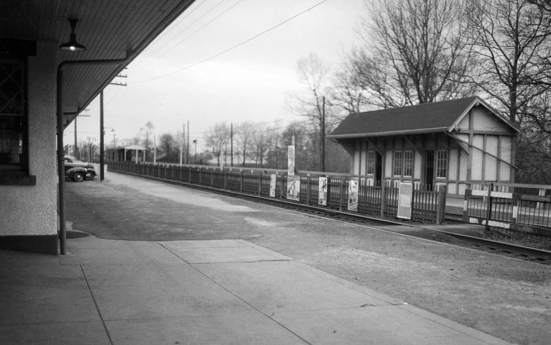
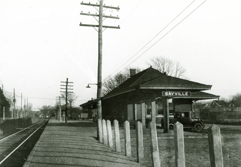 Sayville station 1925 |
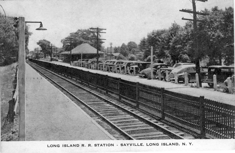 Sayville postcard view c.1946 |
|||||
|
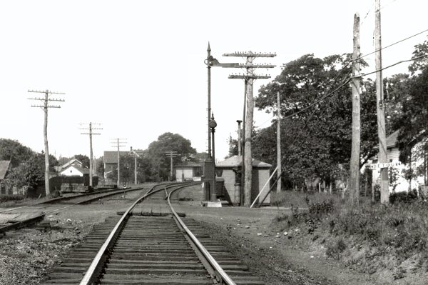
The station (above left) is
still a train order office as there's a signal mast with the wooden box in
which a colored lantern was affixed when a train order was to be picked up. Chances are, when the new depot was opened 8/03/1906, replacing the earlier SSRR's depot, the signal mast was erected. Dave Keller |
||||||||
 Sayville view W 1946 Photo: Fred Weber |
 Sayville 1946 view SW Photo: Fred Weber |
 Sayville Lincoln Ave. view W 1949 Photo: Fred Weber |
 Sayville Lincoln Ave. view N 1949 Photo: Fred Weber |
|||||
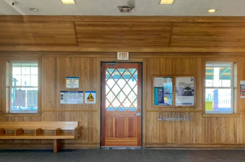
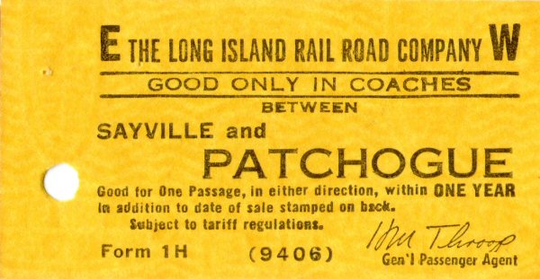 Ticket Sayville-Patchogue c.1965 Archive: Brad Phillips 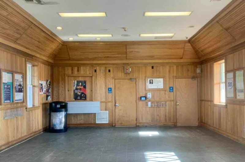 Sayville Station interior waiting area 2025 Archive: Thomas McMahon |
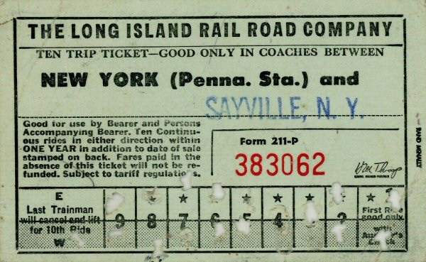 Ticket Form 211-P 10 trip - NY Penn - Sayville 1/09/1970 Source: eBay
|
 Sayville Station 1/17/1973 (Ziel-Queens Public Library)
|
 LIRR Sayville Map 1966
|
|||||
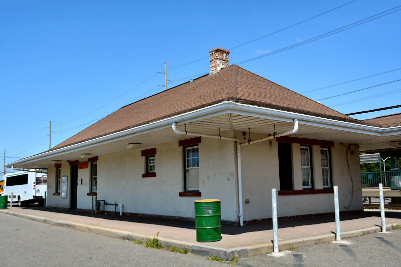 Sayville Station View NW 2023 |
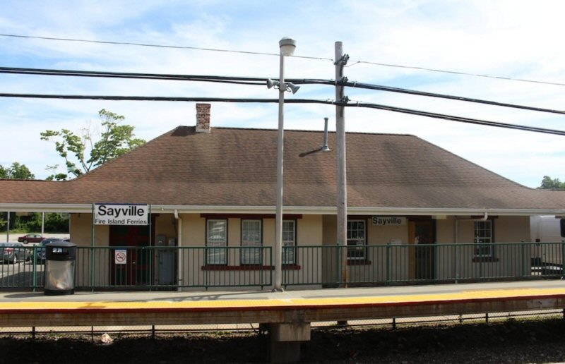 Sayville Station View S 2025 Archive: Thomas McMahon |
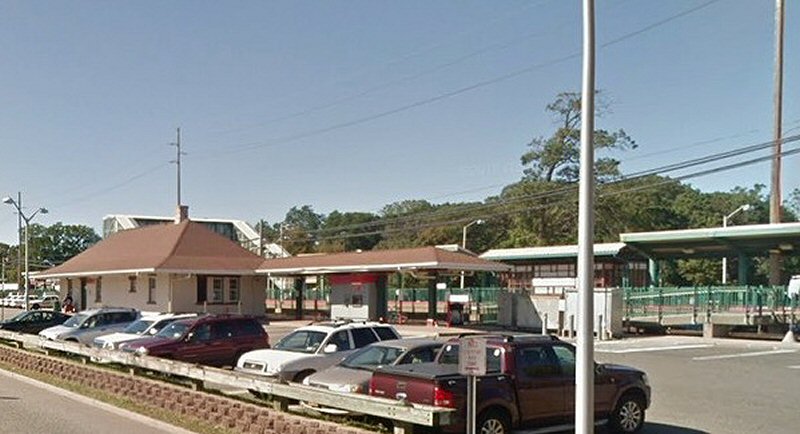 Sayville Station/High Platforms view SE 2025 Archive: Thomas McMahon |
||||||
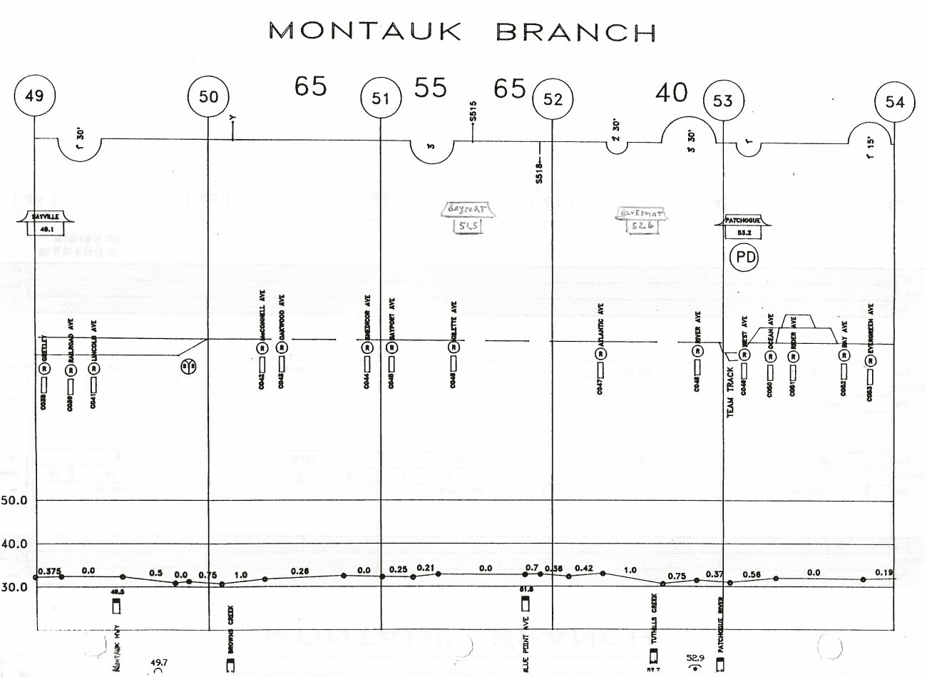
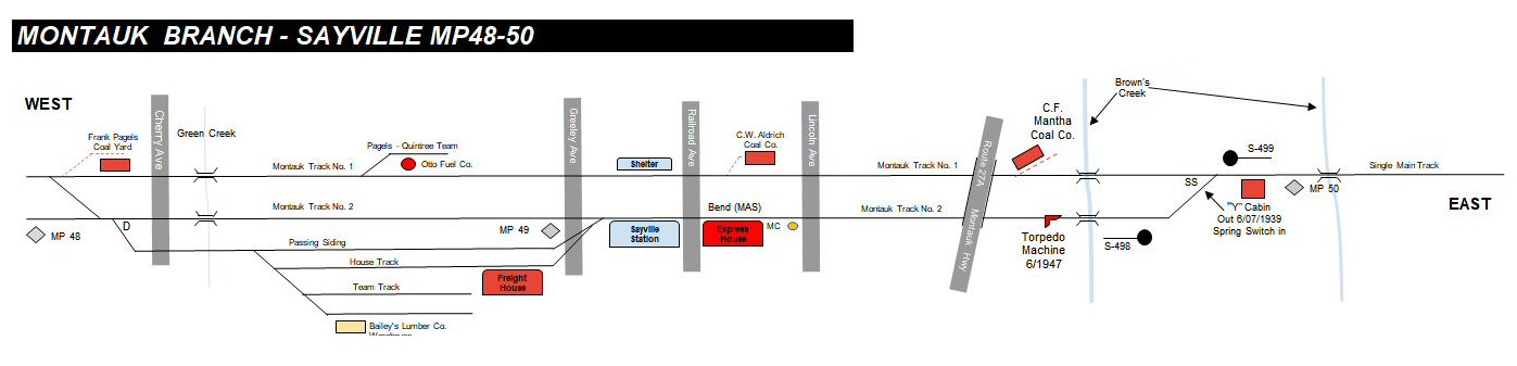 Sayville MP48-50 c.1960 - Research/Diagram: Steven Lynch |
||||||||
|
|
||||||||
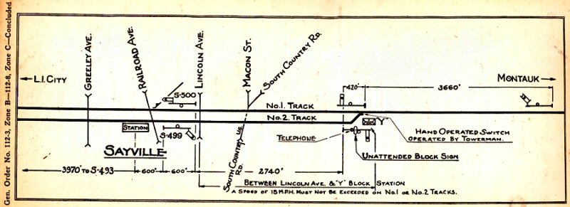
| SAYVILLE - TORPEDO DEVICE | ||||||||
|
|
||||||||
 Torpedo device placement just west of Brown's River at location #1 Emery map of Sayville MP49-50 - 5/1958 Archive: Dave Keller |
||||||||
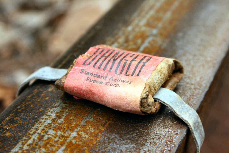
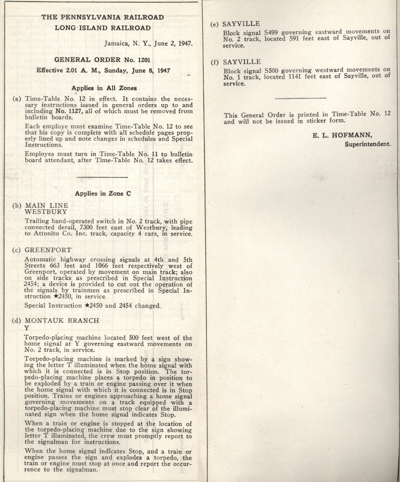 GO #1201 Montauk Branch - Torpedo Placing Machine 6/08/1947 |
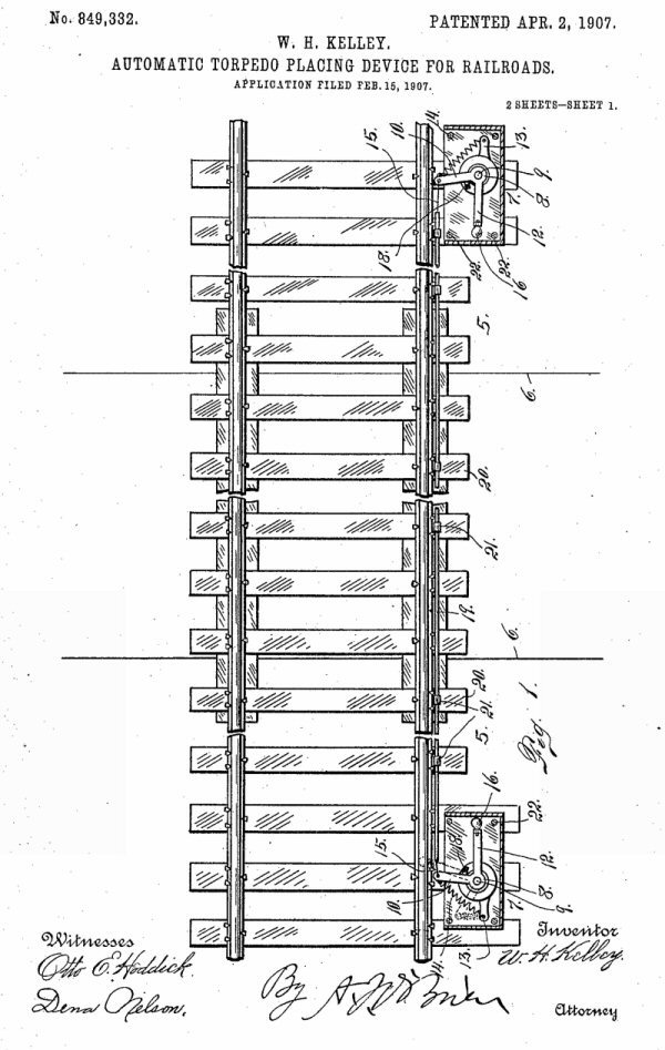 Torpedo/Placing Device patent 4/02/1907 |
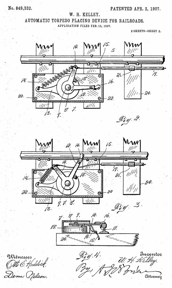 Torpedo Placing Device patent 4/02/1907 |
||||||
|
|
||||||||
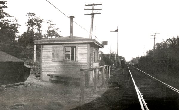
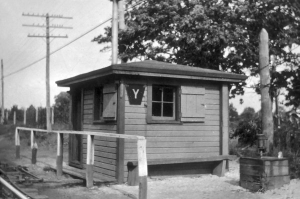
SAYVILLE
"Y" CABIN
 |
||||||||
|
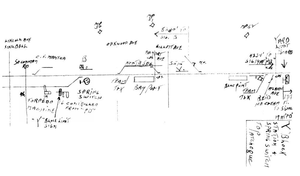
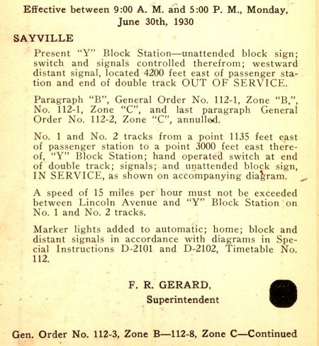
Y CABIN: East of SaYville - Saxby &
Farmer 4 lever mechanical machine. In service: 11/27/1917 on north side of
tracks at end of double track. Temporarily out of service: 1/8/1930.
|
||||||||
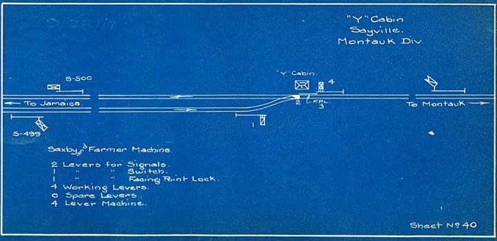 Blueprint of Y cabin in 1917 Cabin north side of tracks Archive: Art Huneke
|
 Y BLOCK - 1950 Map: Jim Boerckel Archive: Dave Morrison |
 G.O. Placing temporary “Y” cabin and end of double track out of service and placing the original “Y” cabin and original location of end of double track back in service 1930 Archive: Art Huneke |
||||||
|
The Spring Switch (SS) at "Y" Cabin was set straight for westbounds, eastbounds would run through it, rule 251 so no need for diverging moves. |
||||||||
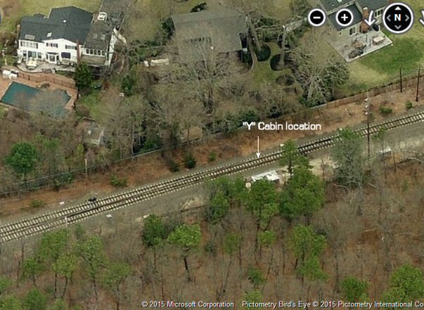
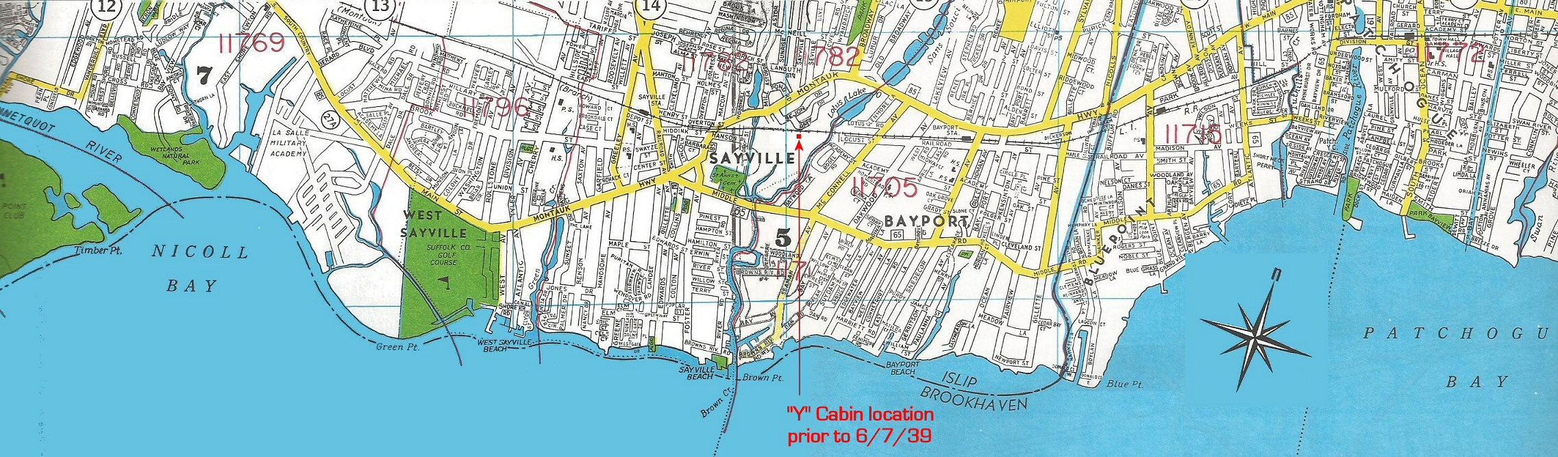 "Y" Cabin location prior to removal 6/07/1939 |
||||||||
 |
 Temporary “Y” Cabin that was moved west to 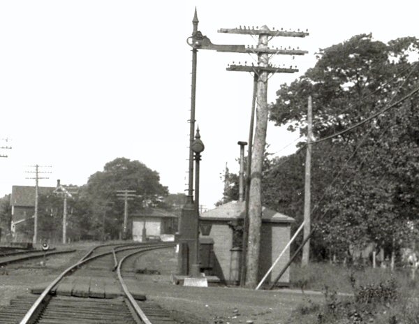 Temporary "Y" Cabin west of Lincoln Ave 1930 close-up Archive: Art Huneke |
|
||||||
|
The double track was reconnected after the project and placed back in service to its original location, and the original cabin was left in situ. Once the project was completed, the tracks placed back in service and the cabin moved to the south side of the tracks, it was re-manned. You’ll notice the
temporary structure, which dates to the 1930 project is ALSO wearing the
keystone call sign as is the original cabin in the c. 1929 view. It is
my opinion that the original cabin in photo #1 was given this sign sometime
after the c. 1925 photo was taken. It was removed and placed on the
temporary cabin and, once the project was completed and the older cabin
restored to duty, it was placed back on that structure to identify it.
The cabin was permanently placed out of service and removed on 6/7/1939 and
a spring switch installed. It was protected by “PD” signal #16
controlled from “PD” tower effective that date. Research: Dave Keller |
||||||||
|
"Y" INTERLOCKING: (R.C.) EAST OF SAYVILLE (BLOCK STATION CONTROLLED FROM “PD.” IN SVC: 6/07/1939. OUT OF SVC: 5/06/2006 WITH CLOSING OF "PD" TOWER.) Research: Dave Keller |
||||||||
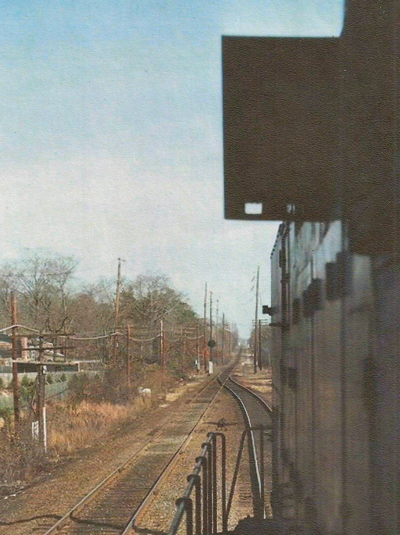 "Y" Interlocking (ex-Y Cabin) - View E 2/29/1976 Photo/Archive: William Gilligan |
 "Y" Interlocking, Sayville - View E 7/16/1977 Photo/Archive: William Gilligan |
 "Y" Interlocking east of Sayville - View W 5/2021 Photo/Archive: Craig Lignelli |
||||||
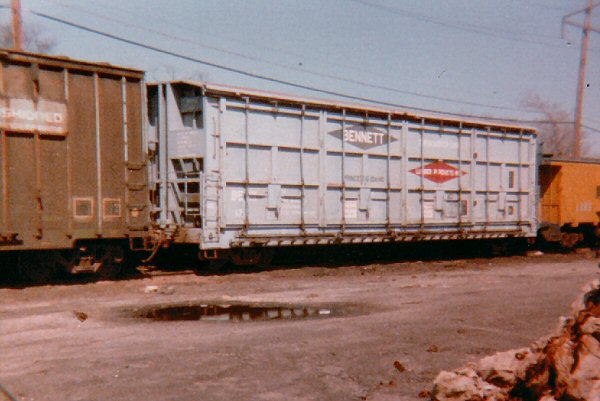
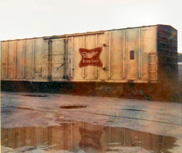 Miller refrigerator car at Quintree Beer Distributors View SE Sayville 1970 - Archive: Bob Bender |
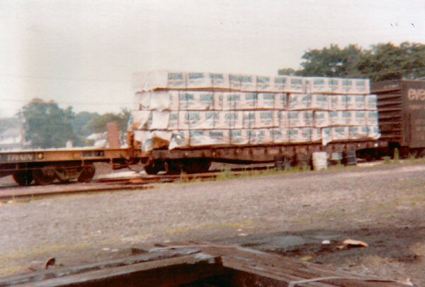 Sayville lumber flatcar Photo: Steven Lynch 1978 |
|
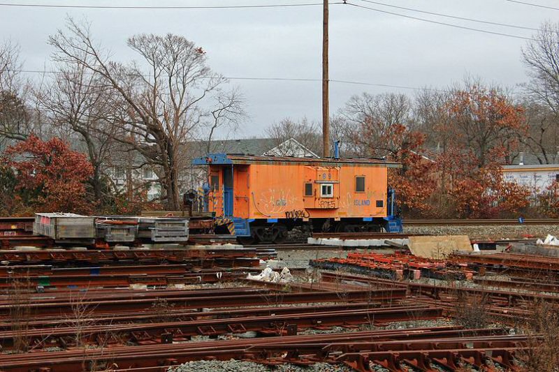 N22B C-69 at Sayville Team Yard 12/11/2022 Photo/Archive: Ronnie Schnepf |
|||||
|
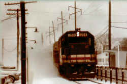
Sayville view W 1946 Photo: Fred Weber |
Sayville Lincoln Ave. view W 1949 Photo: Fred Weber |
Sayville Lincoln Ave. view N 1949 Photo: Fred Weber |
||||||
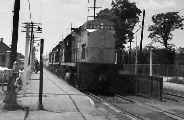 LIRR #207 three engine train #4012 of parlors, bar and coaches at Sayville 1970 Summer only Montauk eastbound - Return train #4011 “the Sundowner” Sunday 15 car all parlor west to Hunters Point Avenue, arriving there around 10:00 p.m., using parlor equipment from one of the Friday all-parlors (Cannonball or Weekender). Photo/Archive: Bob Bender |
 LIRR #259 GP38-2 train #4012 Sayville 1/05/1980 Photo: Bob Bender |
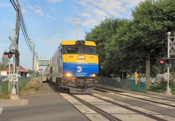 LIRR #418 DE30 Railroad Ave, Sayville eastbound to Patchogue 7/11/2015 Photo/Archive: Bob Bender |
||||||
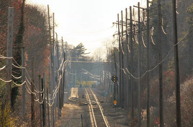
 Y Interlocking, Sayville - View W 5/04/2024 |
 Lakeland Ave., Sayville view E Photo/Archive: Joseph D. Korman |
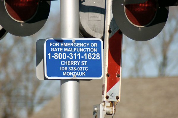 Cherry Ave Gate Malfunction Sign 01/04/08 LIRR has "CHERRY ST" in error Photo: Mike McDermet |
||||||
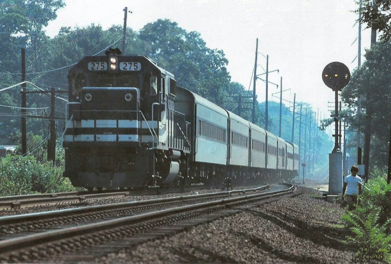
|
On a scorcher of a June 4th, 2024 afternoon, two DE30's meet
at "Y" Interlocking on the Long Island’s (former South Side Rail Road)
Montauk Branch. This Position-Light guarded switch marks the end of
double tracked right of way on the railroad’s longest branch - all meets are
conducted through sidings for the remaining 75 miles to Montauk Yard.
With westbound engine #404 shoving, Train #45 picks up speed through the
interlocking as Train #76, a busy semi-express from Jamaica to Patchogue,
sits patiently on the south opposing track. |
||||||||
|
|
||||||||
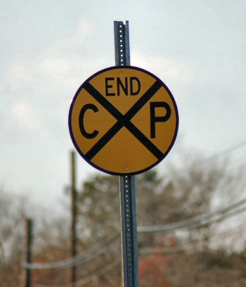
| CP CROSSING PREDICTORS | ||||||||
|
When they had low platforms, the platform extended right up to
the crossing. When you pulled in, if you stopped half way in the station,
the gates would come up; when you started from the station, about 3/4 of the
way through, you would trip the gate circuit and the gates would come down.
End CP sign 12/31/07 Photo: Mike McDermet MORE: CP (Crossing Predictor)
|
||||||||


01/20/2026