|
Suffolk Materials
Mining Corporation was
your basic sand pit and abandoned as
an open pit mine. The sidings were used to unload
inbound salt in the late 70's/early 80's for the Town
of Brookhaven highway department. The last traffic, perhaps, was
bentonite* being unloaded in the late 80's that was used in the
construction of new Town of
Brookhaven landfills.
* When I cross check
�bentonite� it is: Sodium bentonite expands when wet, absorbing as
much as several times its dry mass in water. The property of swelling also
makes sodium bentonite useful as a sealant, since it provides a
self-sealing, low permeability barrier. It is used
to line the base of landfills for
example.
|
|
|
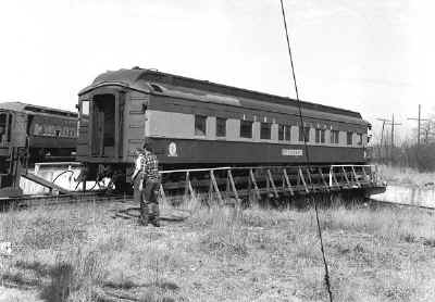
Parlor
Car: Setauket on Greenport turntable 4/1968
Archive: Dave Keller
|
|
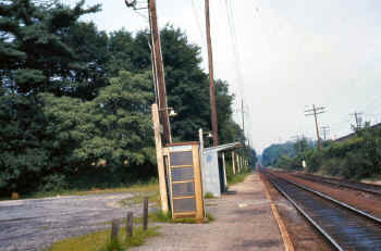
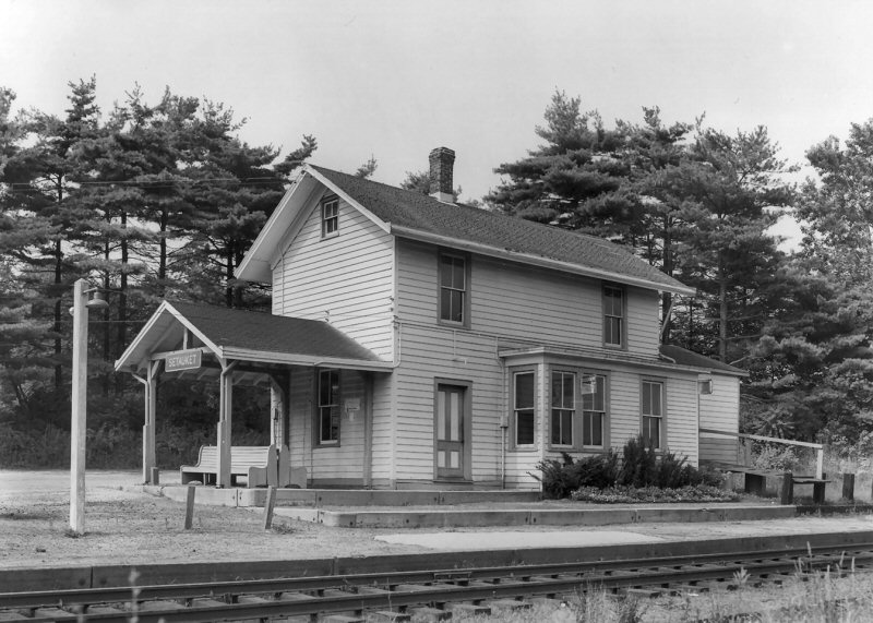
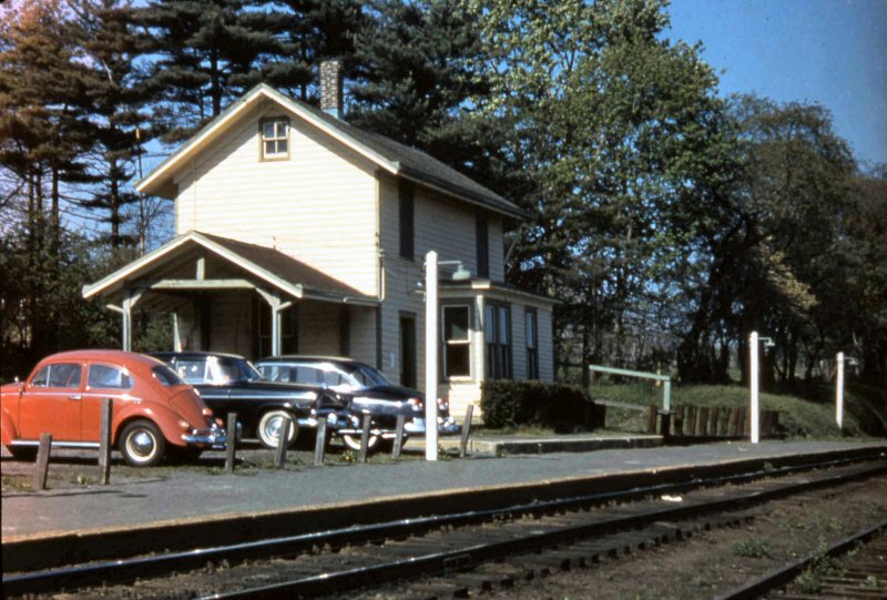
Above:
It's
August, 12, 1973 and on this dreary summer's day we're looking east at the
run-down Setauket station. The metal shelter shed replaced the old
wooden depot when it was razed on October 3, 1960. Starting in the
early 1960s as depot buildings were demolished, these ubiquitous metal
shelter sheds were erected at some of the Nassau County station stops and
at many of the Suffolk County station stops of the LIRR. Visible in
front of the shelter shed is an also-run-down telephone booth.
Remember them? Before cell phones, if you didn't have any change and
had to make a call from a deserted station platform (like Setauket), you
were sunk. Start walking! The platform and platform lamp posts
are slowly being encroached upon by nature. This station stop would
last until it was discontinued per General Order #207, effective September
6, 1980. Today you would be hard-pressed to even visualize a station
stop ever being located there. (Dave Keller archive and data) |
|
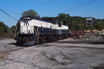
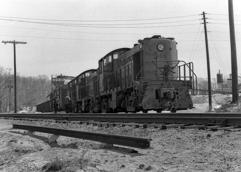
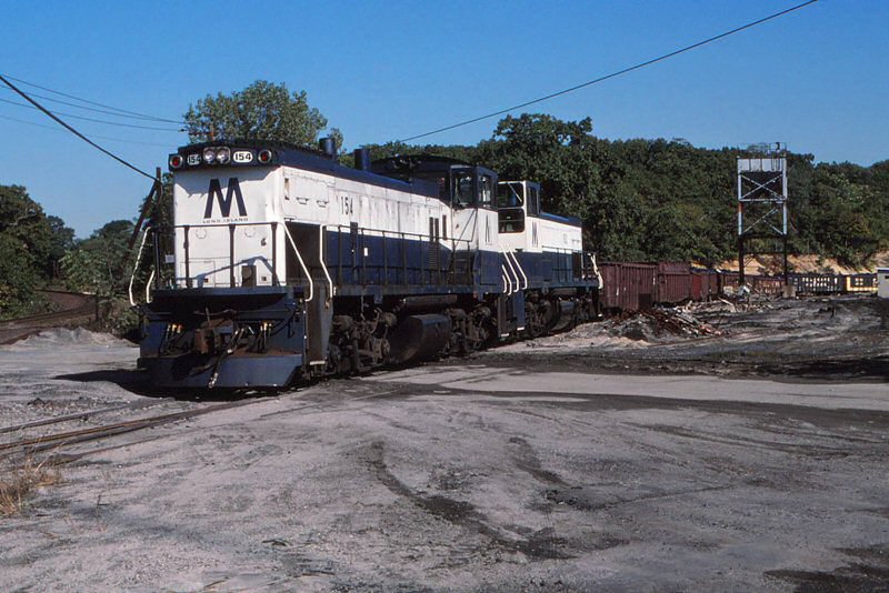
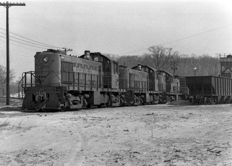
Seen at Suffolk Mining in Setauket, the RF-65, with the 154 and 152, has
finished its switching. The crew is now waiting for permission on the main
and a clear block to BK from the Operator at Port Jefferson.
10/1987 Photo/Archive: Jay Bendersky |
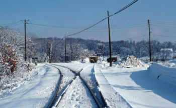
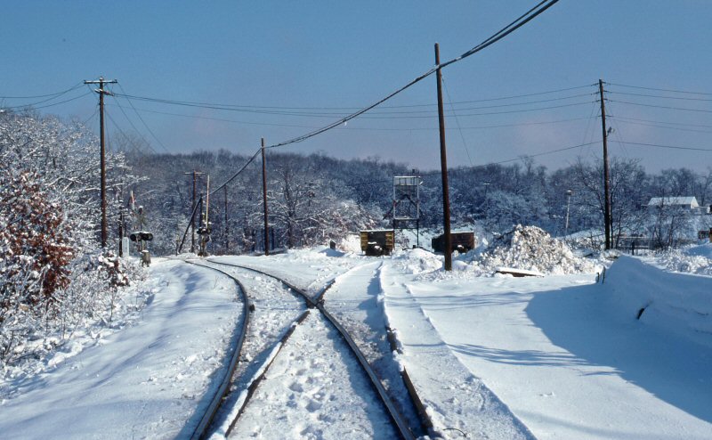
East Setauket, Setauket
Materials at Comsewogue Rd. View E
1/05/1988 Photo: Edward Hand |

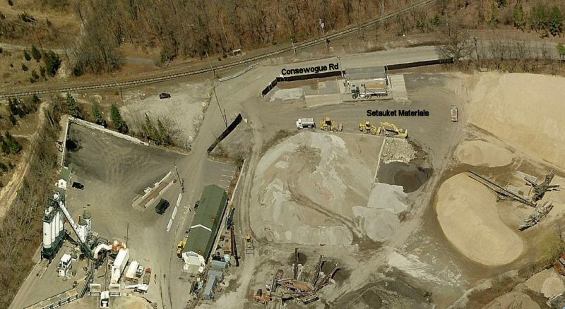
Setauket
Materials, Comsewogue Rd
Bing Aerial 2017
|
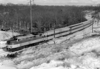
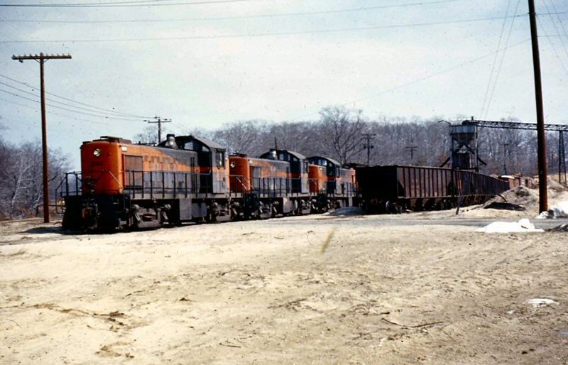
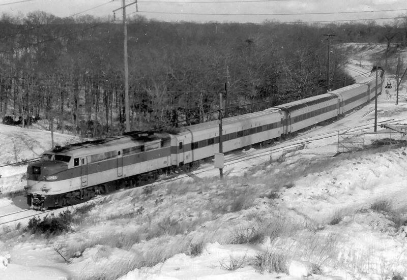
East of Setauket - Suffolk Materials & Mining siding at right
Winter 1975 - Archive: MTA |

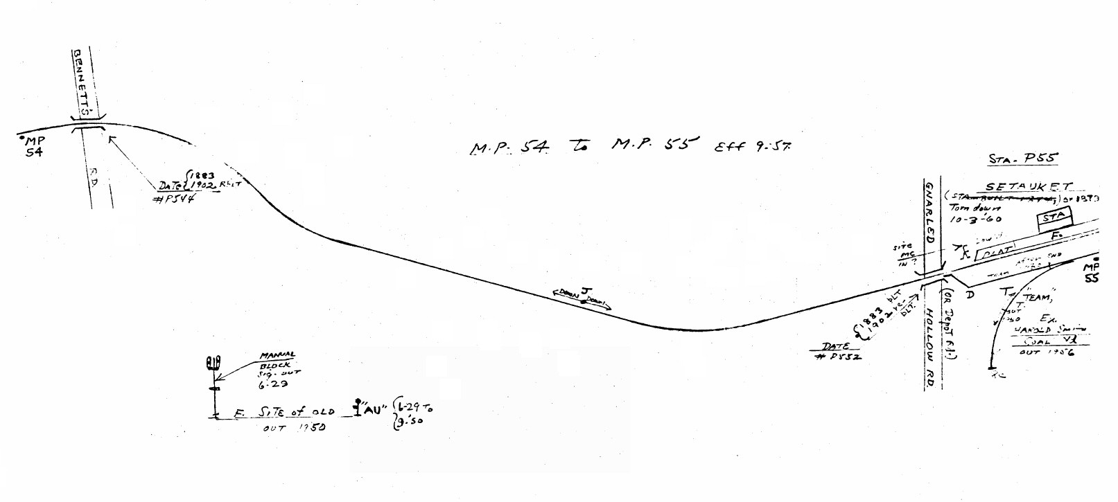
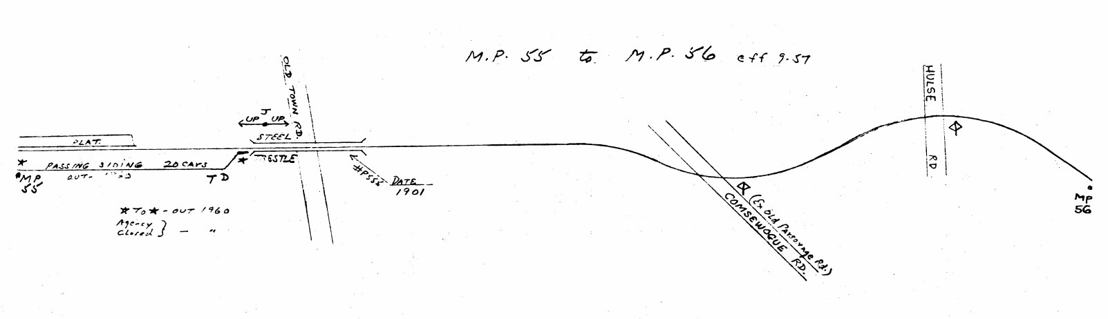
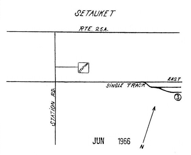
LIRR map Setauket 1966
Location #3
Suffolk Materials & Mining Corp. |
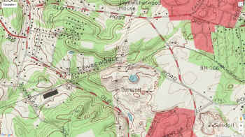
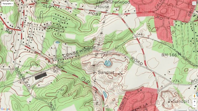
Setauket
Google topographic map
Comsewogue
Rd. |

%20(Higginbotham-Keller).jpg)
.jpg)


.jpg)
.jpg)